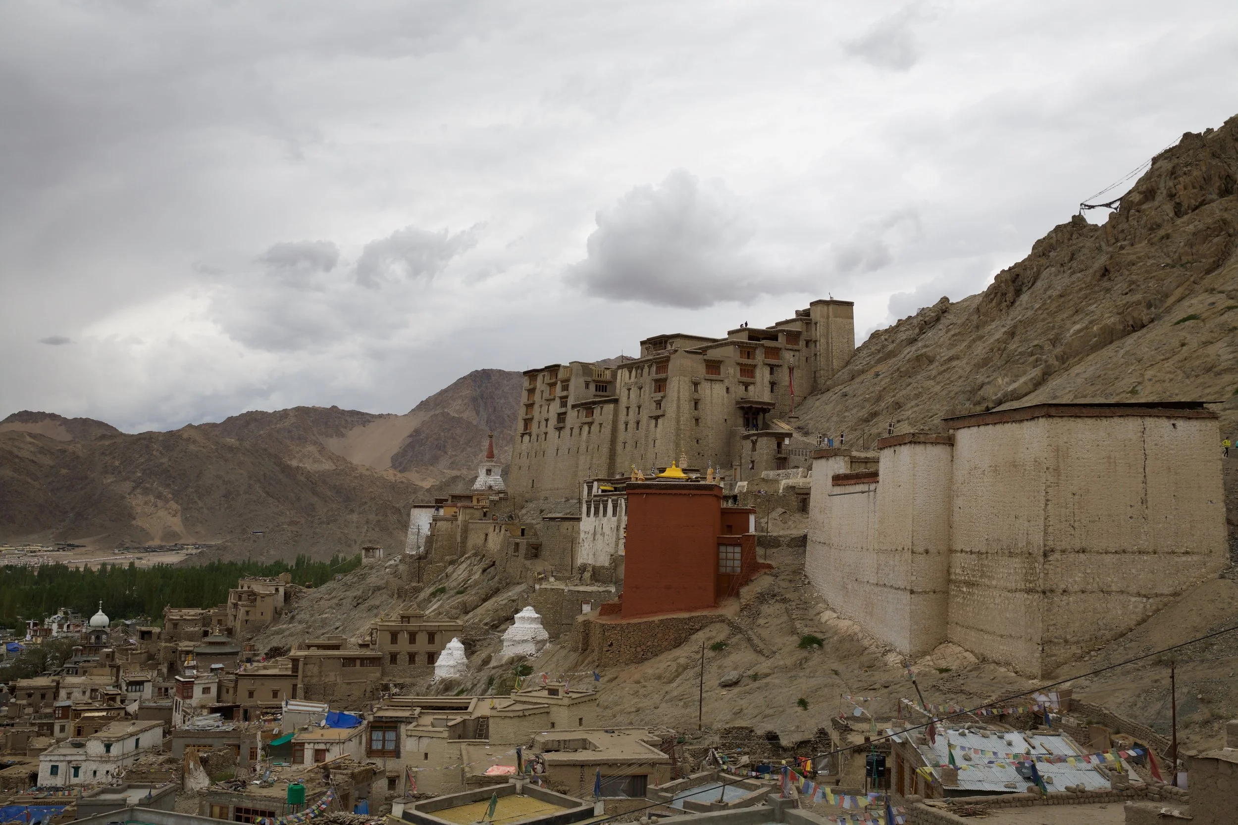
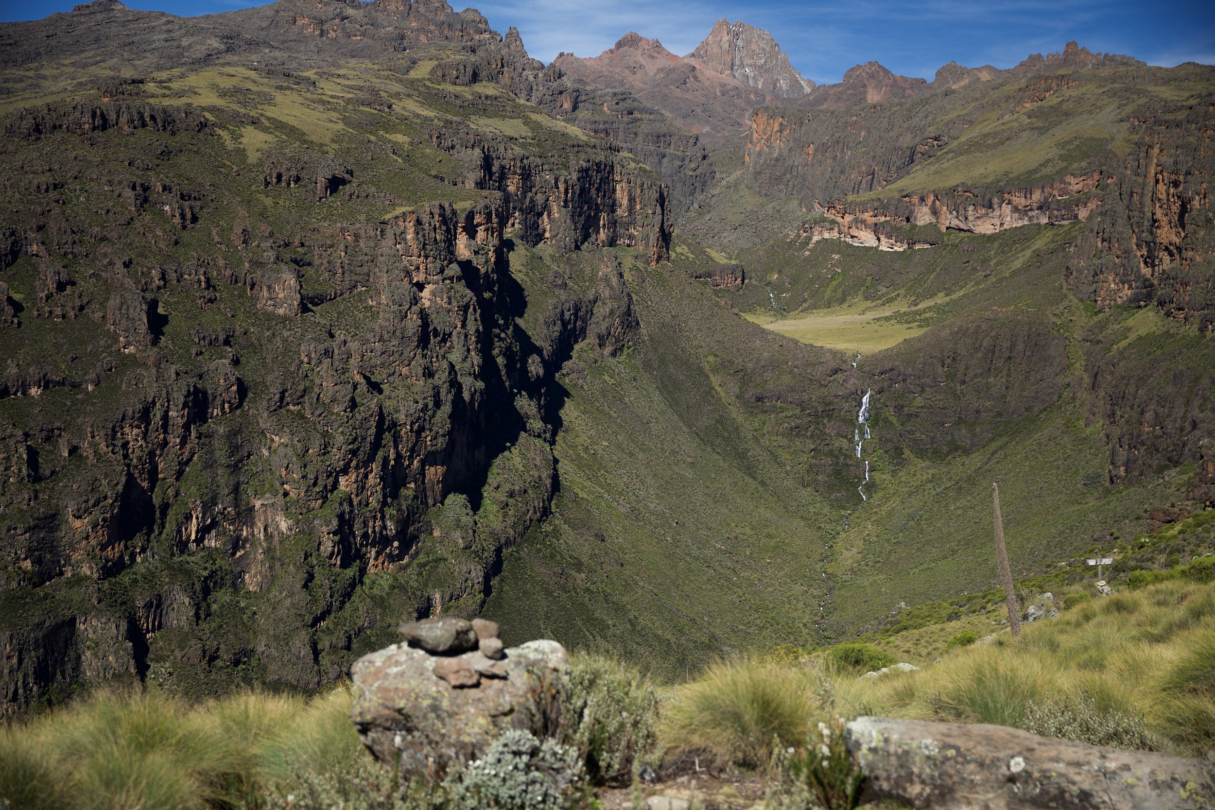
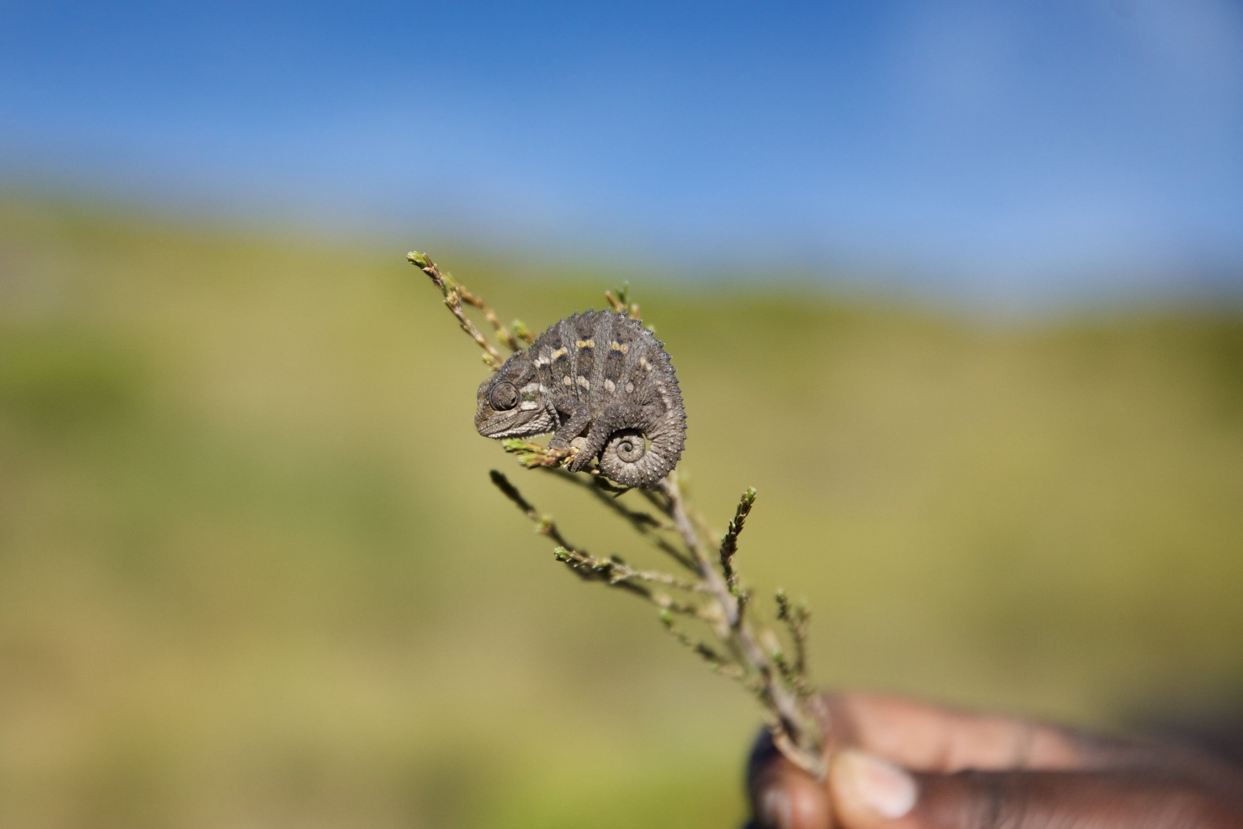
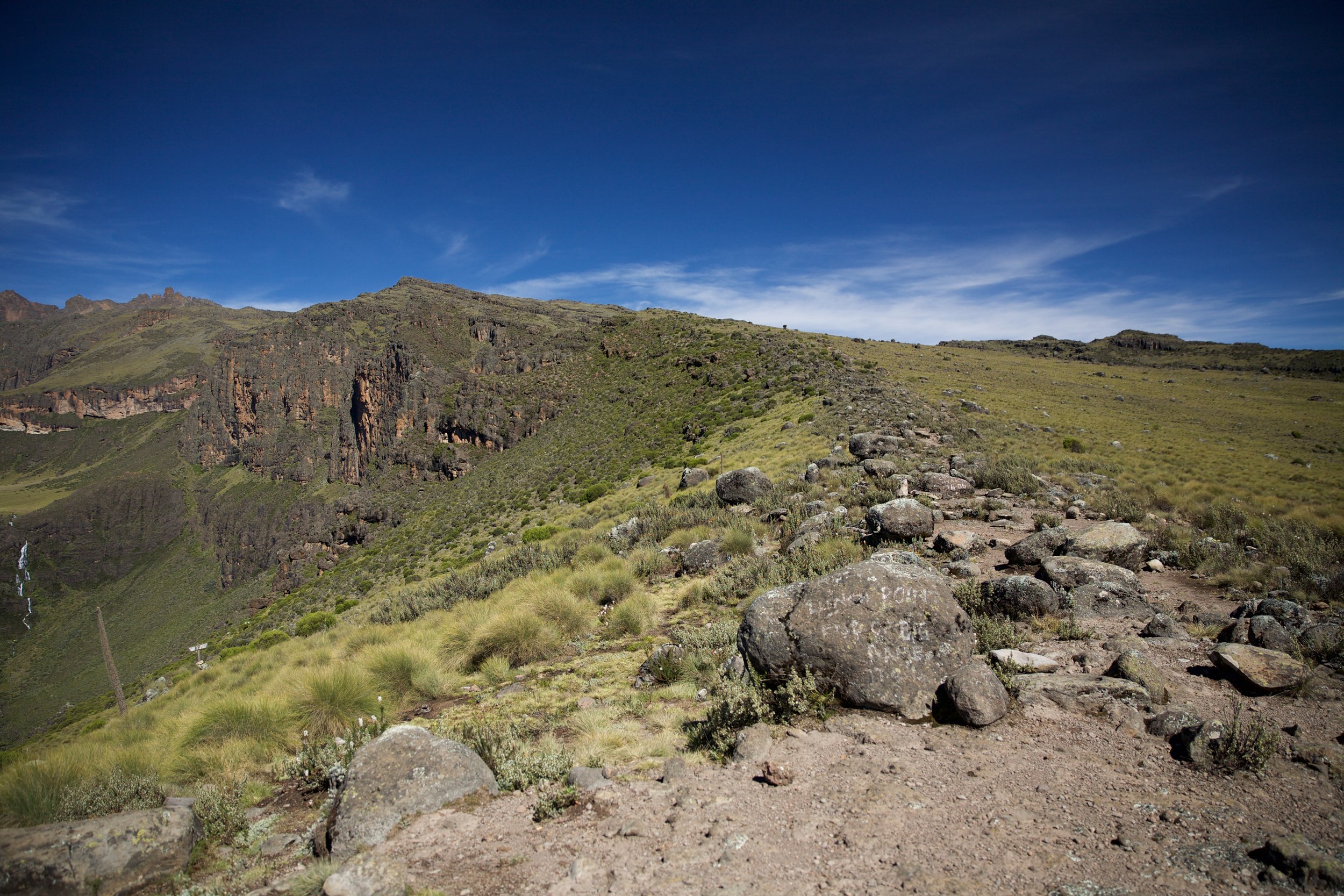
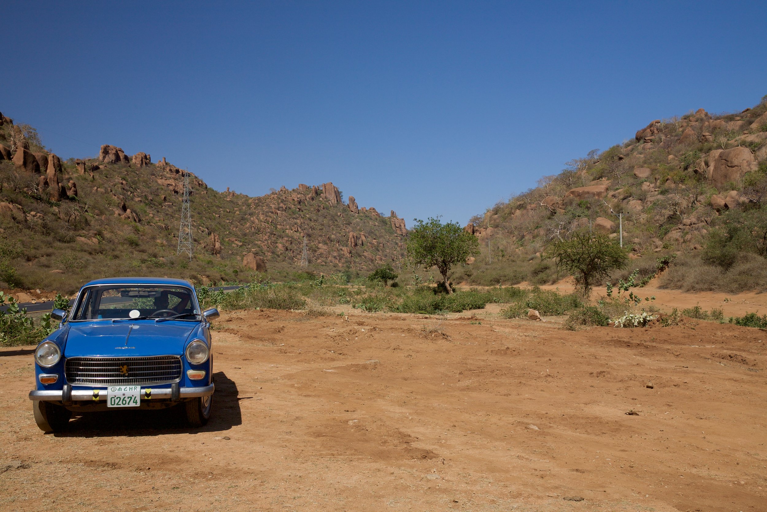
In the summer months, Leh brims with trekking companies who advertise open spaces on upcoming trips via posters and signboards outside their offices. A walk down Changspa road—the main avenue for backpacker guesthouses in this high-altitude Indian outpost—offers up departure dates for pony treks through Zanskar, camping trips to Tso Moriri, and guided teahouse hikes through perennially popular Markha Valley. I had planned my travels for 2016 around being in Ladakh for the summer, so after a week of acclimatizing (and a lot of wheezing climbs up flights of stairs at 3,500 meters), I was eager to finally make solid trekking plans. I had my eye on a 10-day trek starting in Lamayuru, a village known for its medieval gompa about three hours west of Leh on the Srinagar road. After talking to a dozen agents, I hesitantly agreed to join a three-person organized trip slated to leave in late July. I had already spent several days fretting over the cost of the trek; the prices for guided expeditions during Ladakh’s peak season swing between $35 and $65 a day. This is reasonable compared to American or European standards, but rather high for India.
I’d been staying at Greenland, a homey Tibetan-style guesthouse presided over by a middle-aged Ladakhi woman named Yangchen. She caught me studying the early 2000s Swiss topographical map I’d picked up in Leh’s marketplace (maps of Ladakh are notoriously outdated and hard to find) and shrugged, unimpressed, when I told her my plans and their price tag. “You go Lamayuru alone, no need to pay guide,” she said. “Other people coming from France or America, they need guide because no time. You have time, have map. No problem. You stay at Tibetan homestays. Good business for them, nice walk for you.”
This is the type of advice I crave. It was high season, after all—surely there would be plenty of others on the route I was plotting, surely there would be plenty of people around to resolve navigation issues, and so on. I loaded my backpack, breezed by the trekking agency just long enough to ignore the look of doubt on the agent’s face when I told him I was going it alone, and hopped a 3 PM sardine can (translation: bus) to Lamayuru. Just before the bus rumbled to life, three men speaking Spanish and a diminutive Asian woman climbed aboard, asking conspicuously “Lamayuru? Zanskar trek?” I couldn’t hear the bus driver’s response, but the three Spanish speakers were evidently reassured, because they crammed themselves into a crowded aisle, removed an odd-looking instrument from a bag, and proceeded to have an hour-long jam session right there on the bus. I’m not sure my fellow passengers were entertained, but I felt joyful and free: This had to be a good omen.
The three Spanish-speakers, it transpired, were friends on holiday from Mexico City, and they intended to follow the same route as I did through the Zanskar portion of the hike before heading north to climb 6,120-meter Stok Kangri. The young woman with them, a Japanese tourist who’d left her husband at home while she pursued some solo outdoor time, was embarking on a longer trek southward toward Padum and was en route to meet her ponyman near Lamayuru. (The odd-looking instrument the Mexicans had played on the bus was a mouth organ they’d bought in Rajasthan.) The five of us followed a tout from the bus stop to a guesthouse down the road from the gompa. There were already half a dozen others sitting cross-legged in front of their dinner in the home’s dining room; before long, the three amigos and I had picked up an additional trio who were starting at the same trailhead we were early the next morning: a young British couple who would follow our route for a day before splitting off to cross an extremely difficult high pass farther north, and an Israeli med student who simply wanted a scenic day hike to the next town. Just eight hours earlier, I’d been on my own; now, one had become seven.
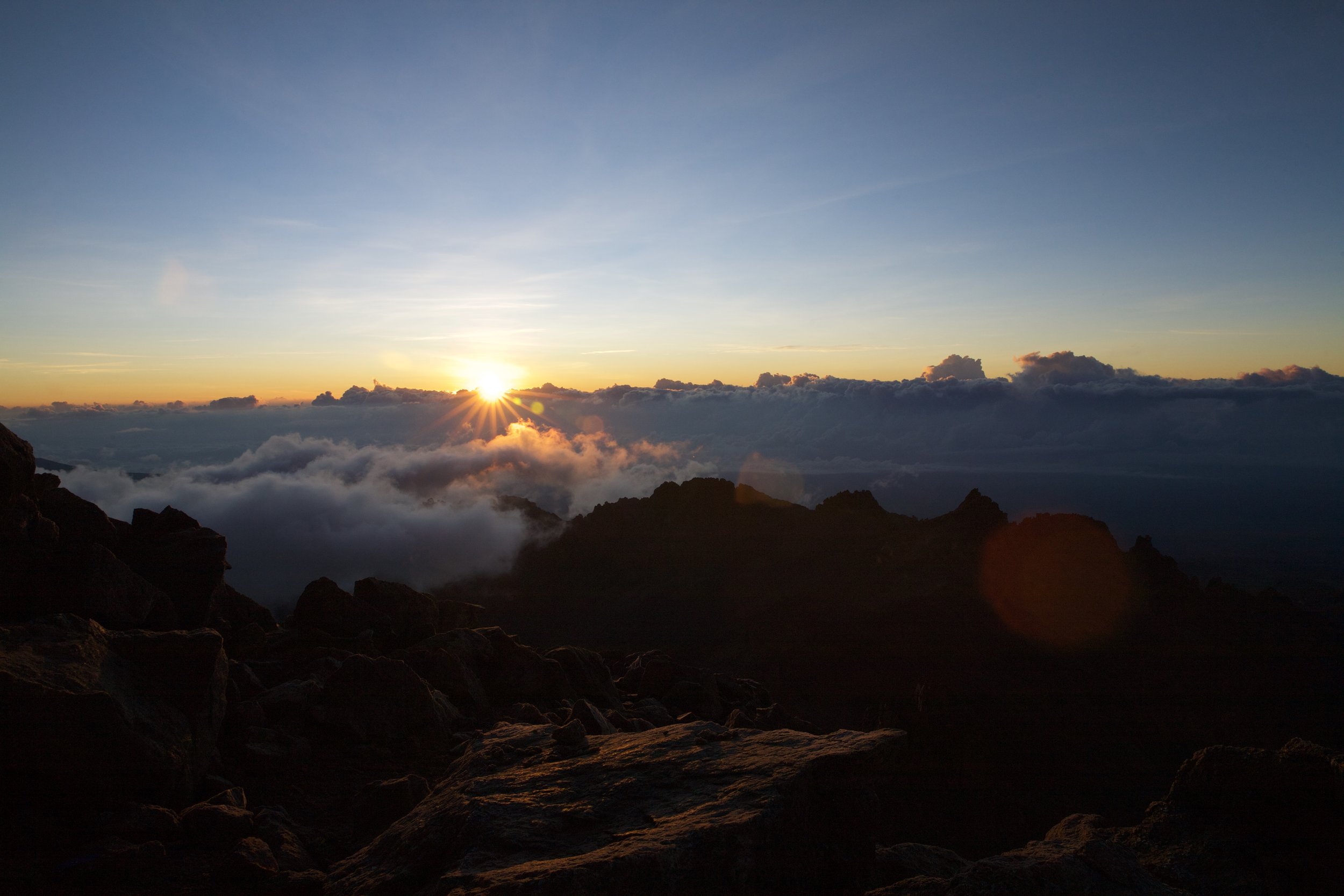
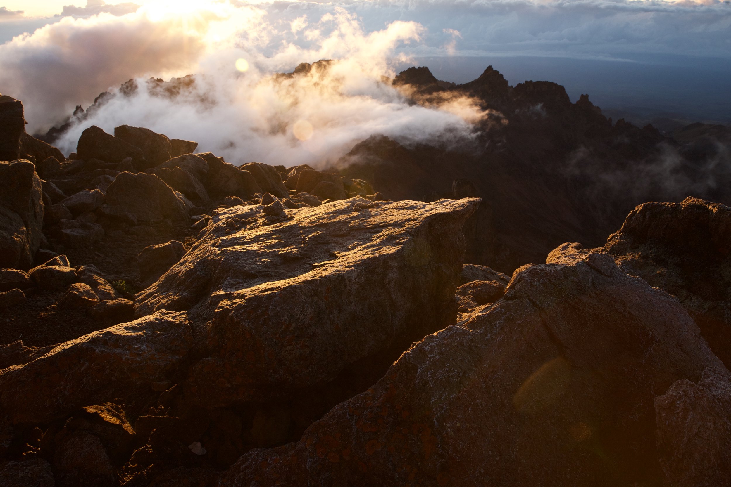
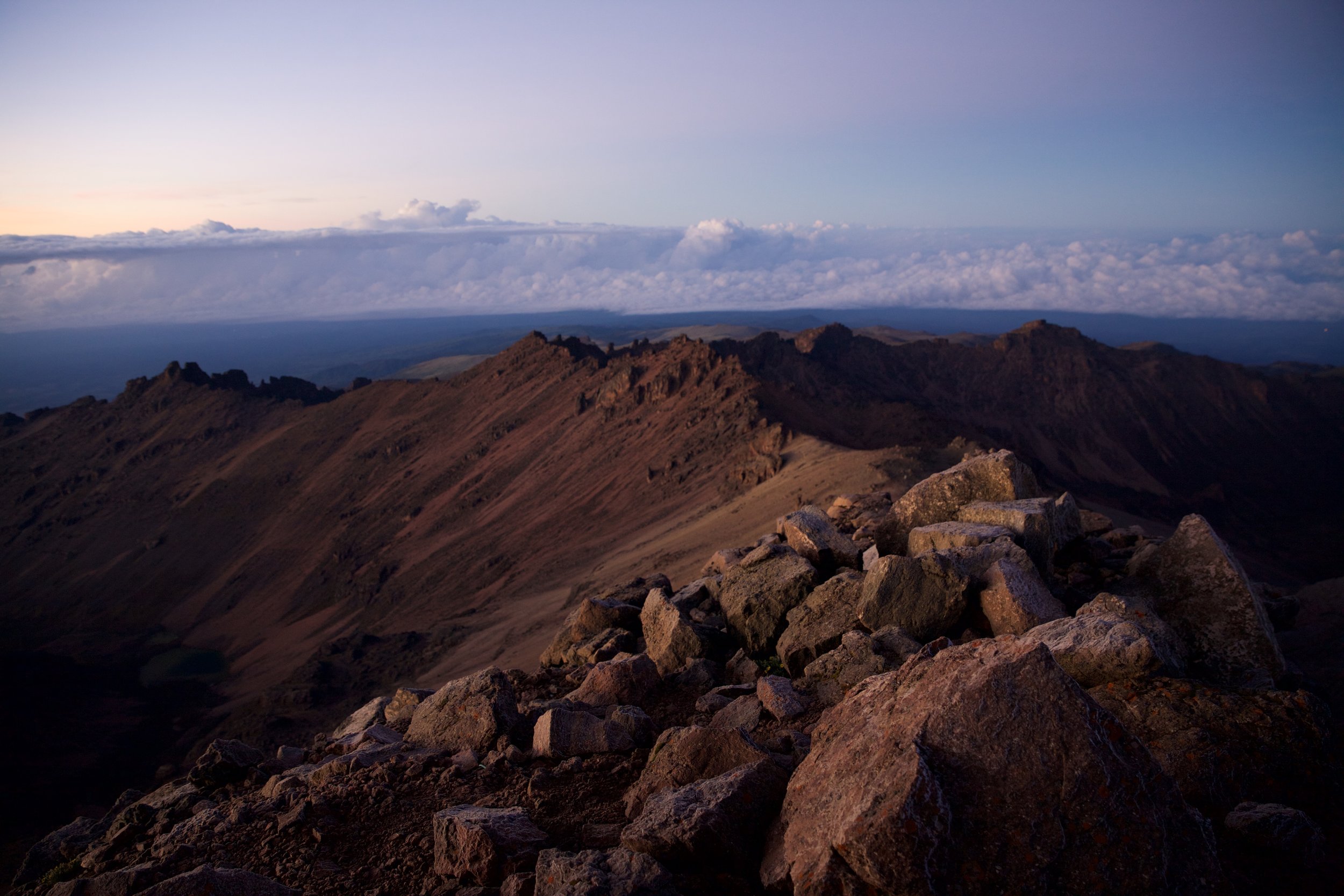
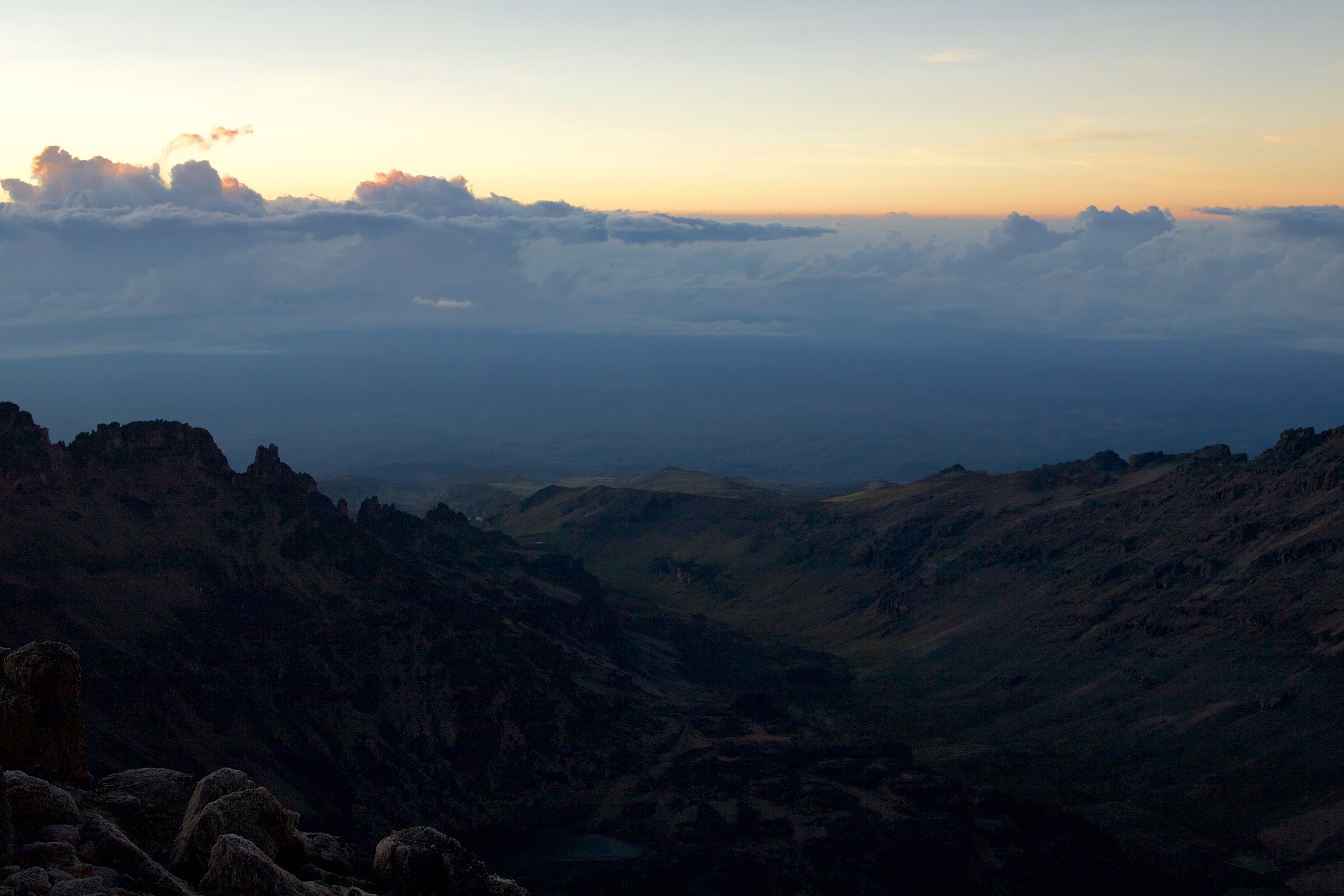
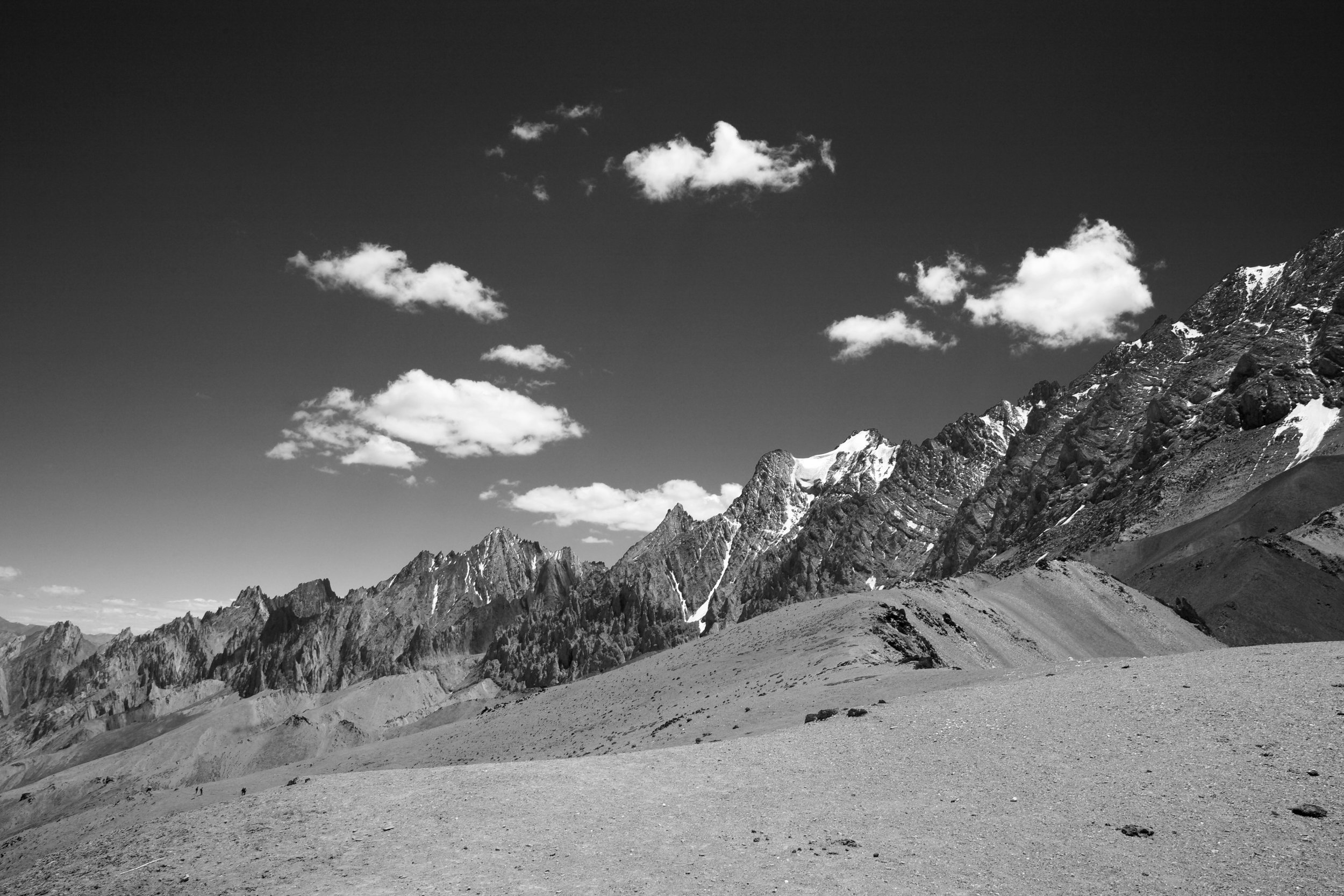
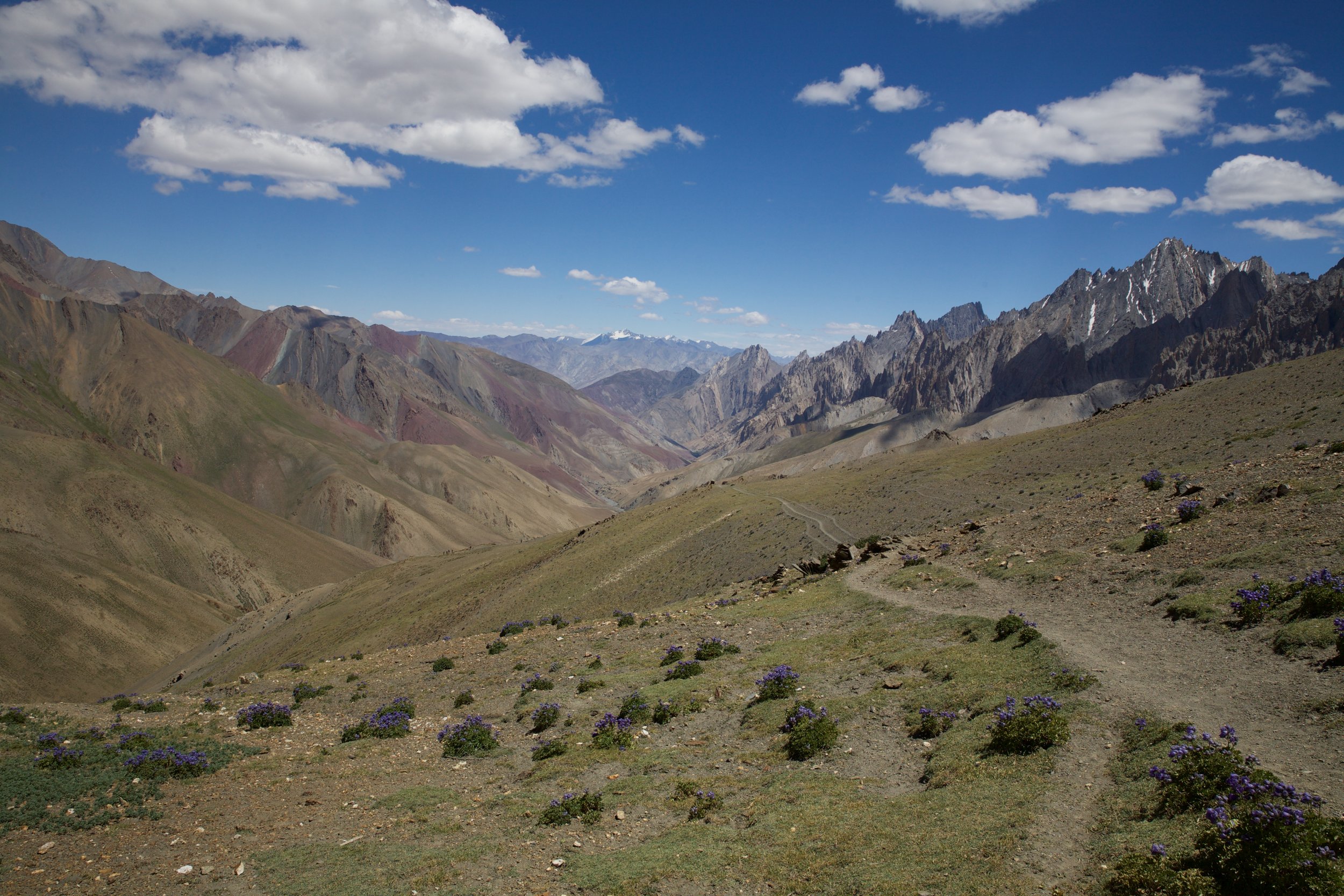
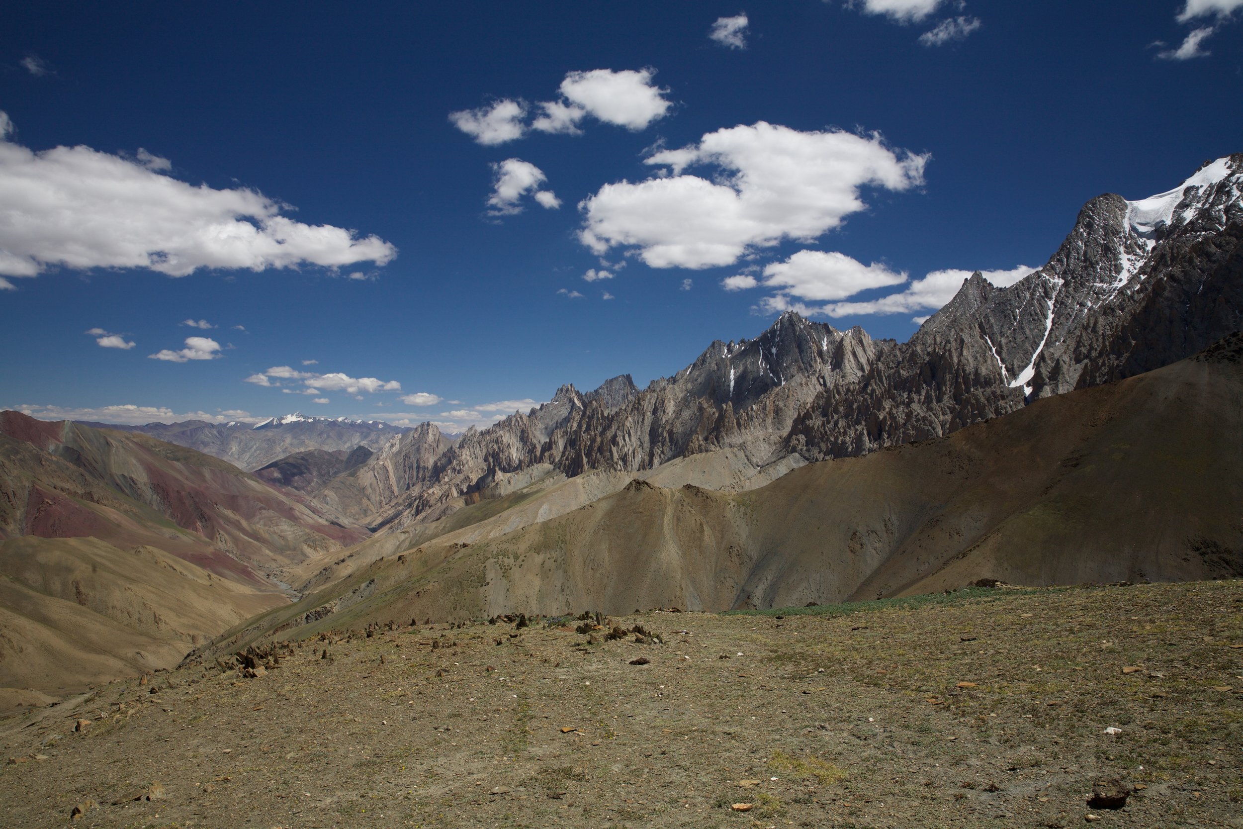
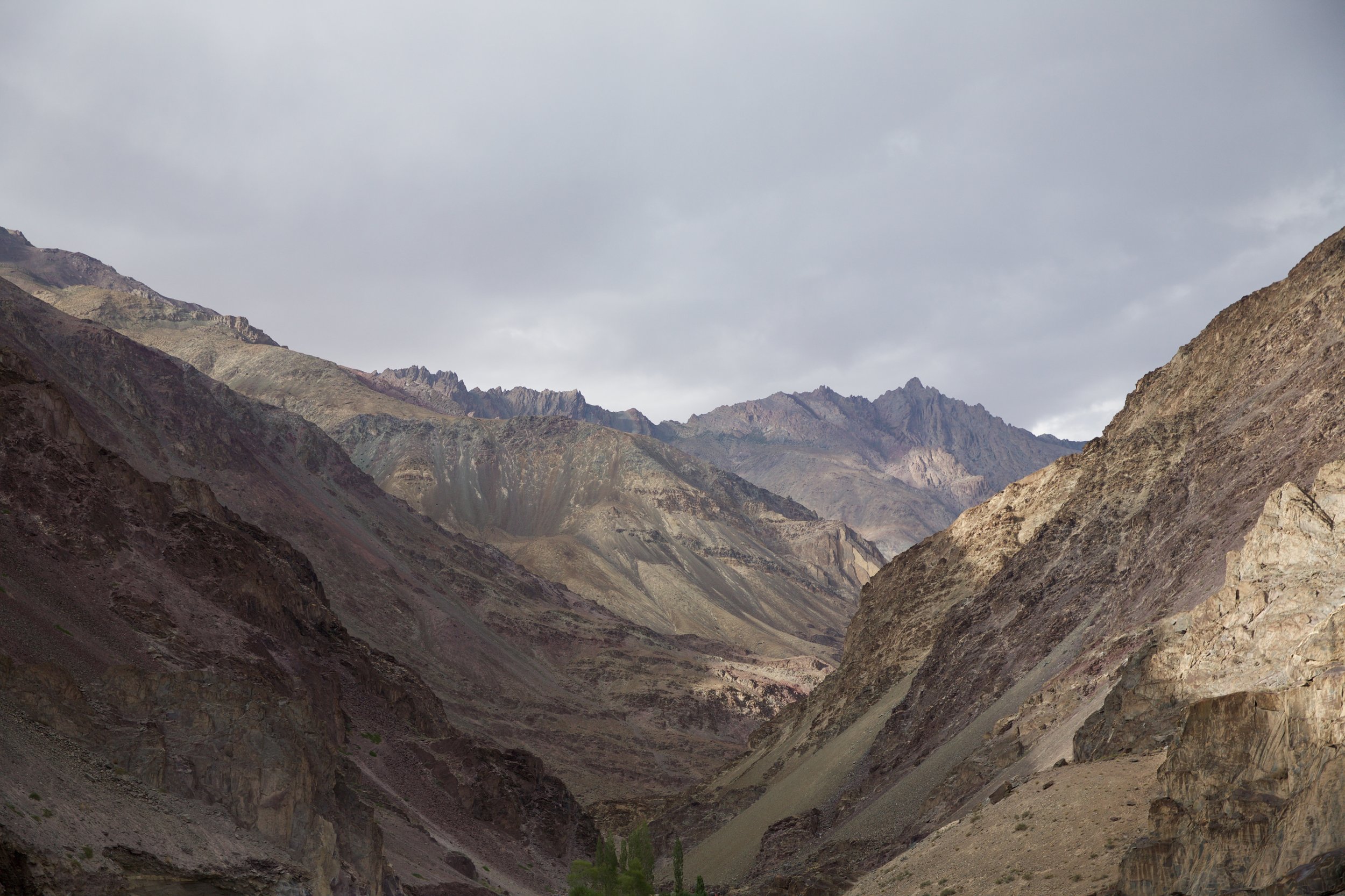
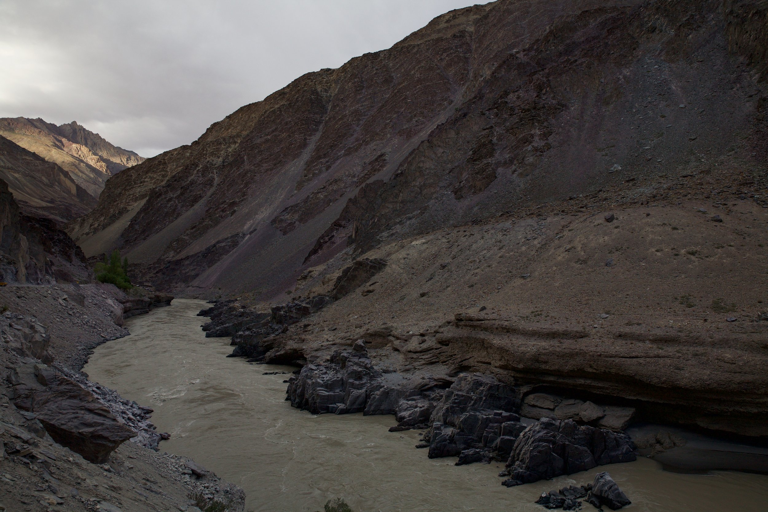
I’ve always found trailhead discovery to be one of the trickier parts of hiking. I am not blessed with a terribly strong natural sense of direction, and either everyone else in our party that first morning had an equally poor internal navigation system, or the trailhead out of Lamayuru was particularly difficult to find. We lost the path no fewer than three times the first hour out of the village. Our large format maps were all but useless, and the guide I’d picked up with hand-drawn trail maps was more detailed but almost a decade old. When we finally found our way to the top of the miniature pass we’d been aiming for, a windy notch called Prinkiti La, we were already rather far behind schedule for the day. I stopped to take photos as the rest of the group went on ahead. The Zanskar region is a bone dry, exposed landscape of subtle beige and lavender hues, like dunes of a great undulating desert made solid and left to decompose grain by grain. It’s intricately eroded, bleak and silent but for the wind.
The sky turned dark as I was packing up my camera gear and contemplating the steep canyon descent in front of me. There are many places I would not want to be during a rainstorm: a rock canyon in the Himalaya has to be near the top of that list. Unlike the Markha valley several days’ walking farther east, the Zanskar region has almost no vegetation to soak up or slow down rain. Flash flooding is practically a guarantee during any significant precipitation. I spent the next 90 minutes run-hopping downhill, occasionally having to throw my pack down two-meter drops before clawing my own way down the canyon walls. Happily, no true storm ever materialized; light rain was the worst that fell.
There was no sign at all of the next village until I abruptly reached the mouth of the canyon. Two desiccated chortens—earthen stupas built to ward off evil spirits—guarded the trail into Wanla, an all-but-empty riverside settlement with a scant few teahouses and a single general store selling pony feed and ancient candy bars. I caught up to my walking companions at lunch, and we spent the remainder of the afternoon dodging raindrops and attempting to filch apricots from gnarled orchards that marked one- and two-house dwellings along the small regional road out of Wanla. After a few pipes full of hash they’d snuck during a toilet stop, the Mexicans began to sing, prompting laughter from the rest of our party and the few ponymen we passed on the way. None of us was thrilled to be on a road—even a packed dirt secondary road—instead of a trail, but the path was clear and the company was good.
When the light began to fade, we stopped at the single homestay in a town called Phonjila for steaming cups of milky chai and some spirited map debates. The young British couple was pondering the wisdom of walking another five kilometers in hopes of attempting the Tar La, a 5,100-meter pass with a nasty reputation, the next day. The local homestay host, a shy man who rented out his own bedroom to guests during the trekking season, brought out a handmade map of the area and explained in halting English that the Tar La was “danger road.” Where this would have given me serious pause, the Brits knocked back their tea and donned their packs resolutely. The Mexican trio followed shortly after, having decided to follow the road to the next town on the route despite our Ladakhi host’s insistence that it was another four hours away. The rain, meanwhile, had intensified; I watched the Mexicans’ poncho-clad backs grow smaller in the gathering gloom and was all too glad to remain under the dripping tin eaves in Phonjila. A day of company had banished some of my nerves, and I was willing, if not entirely ready, to begin anew, alone.
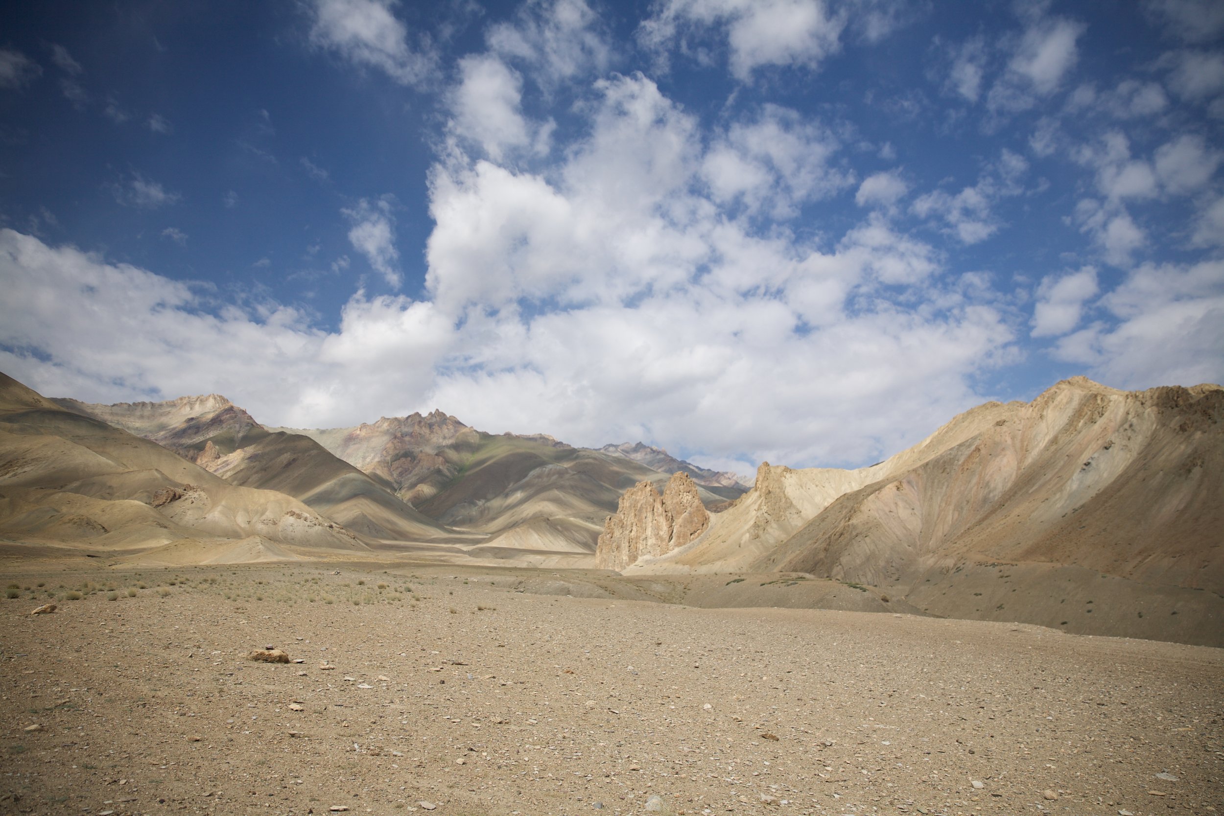
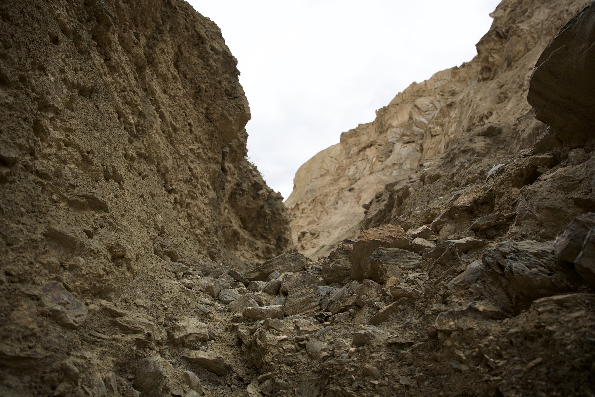
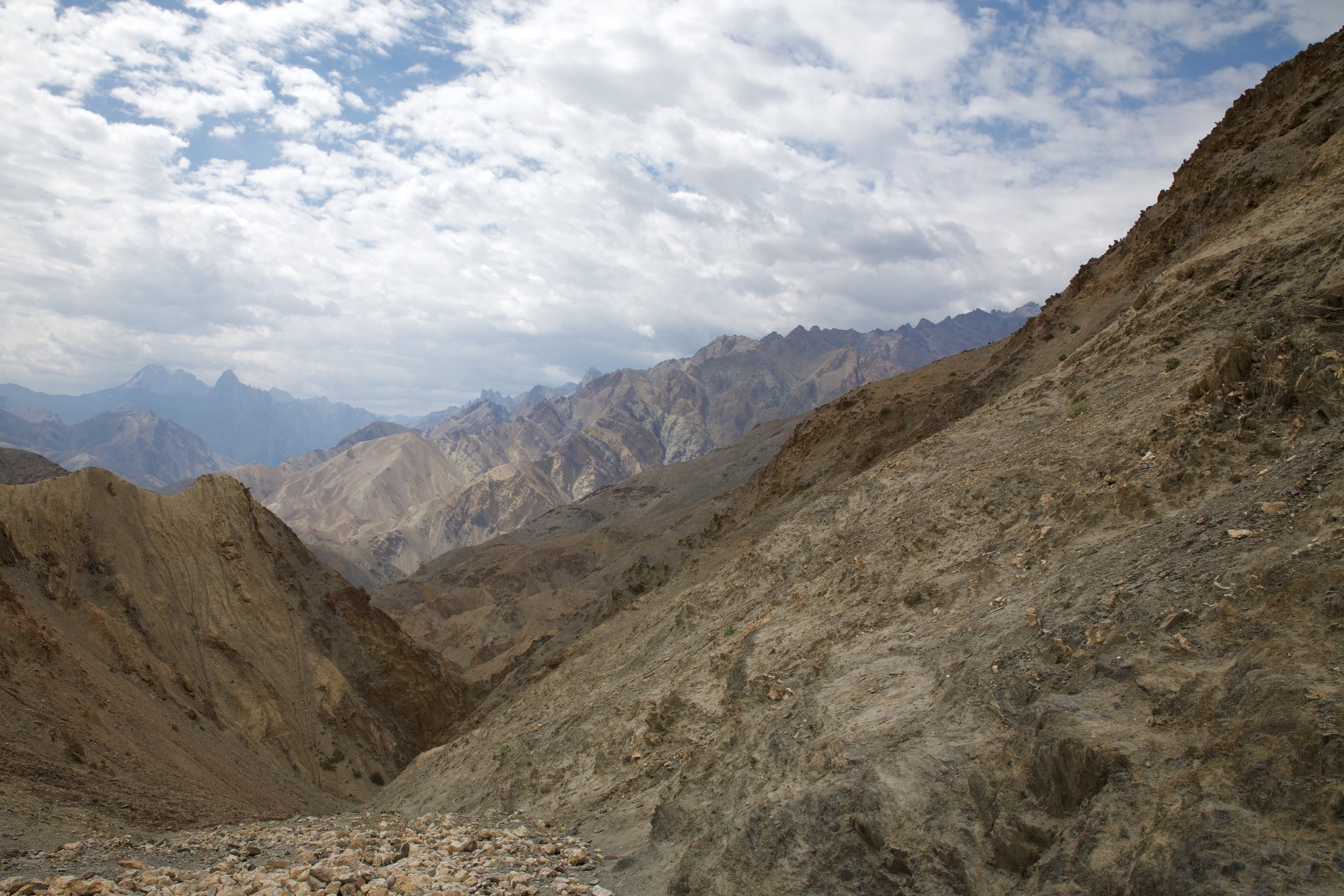
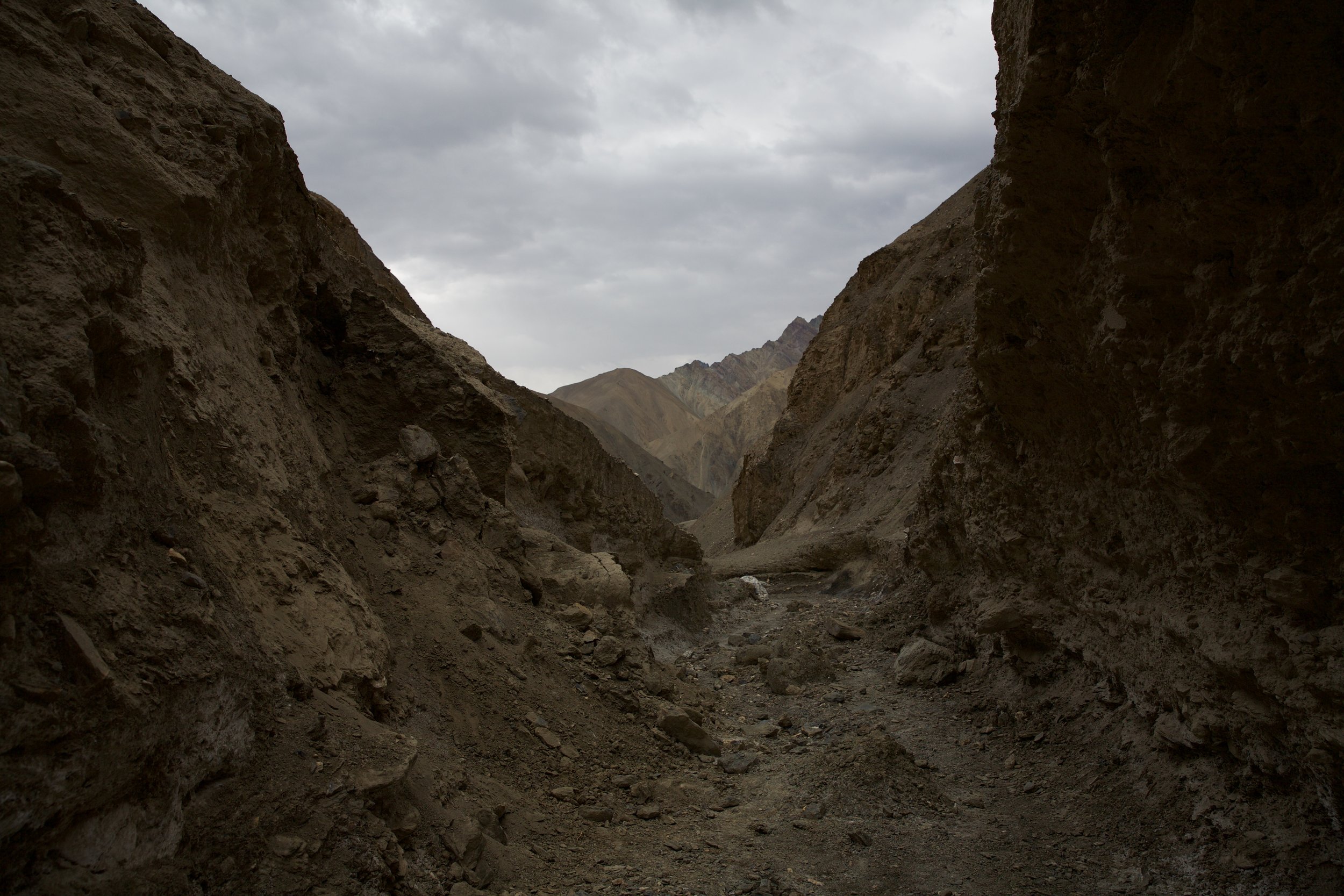
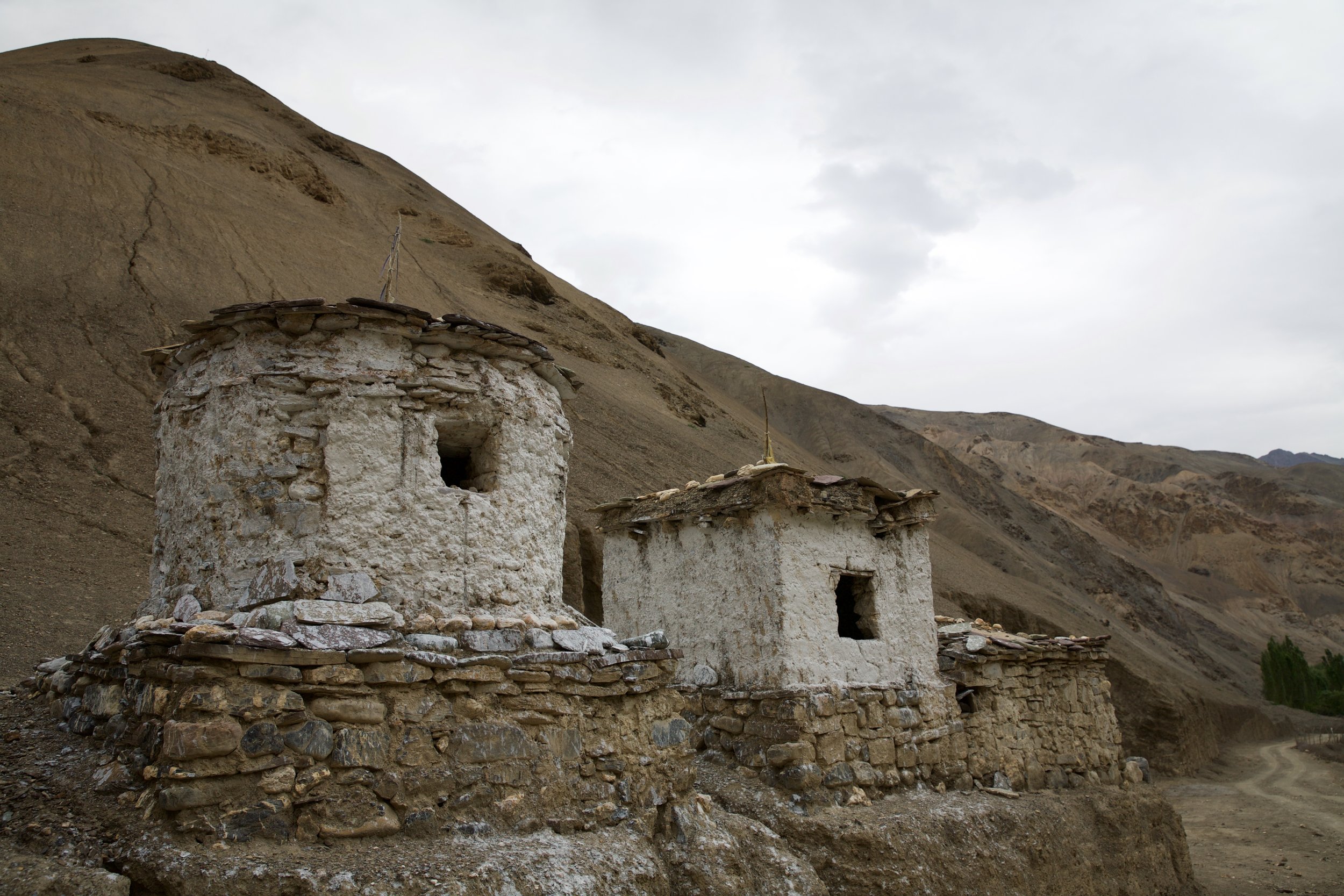
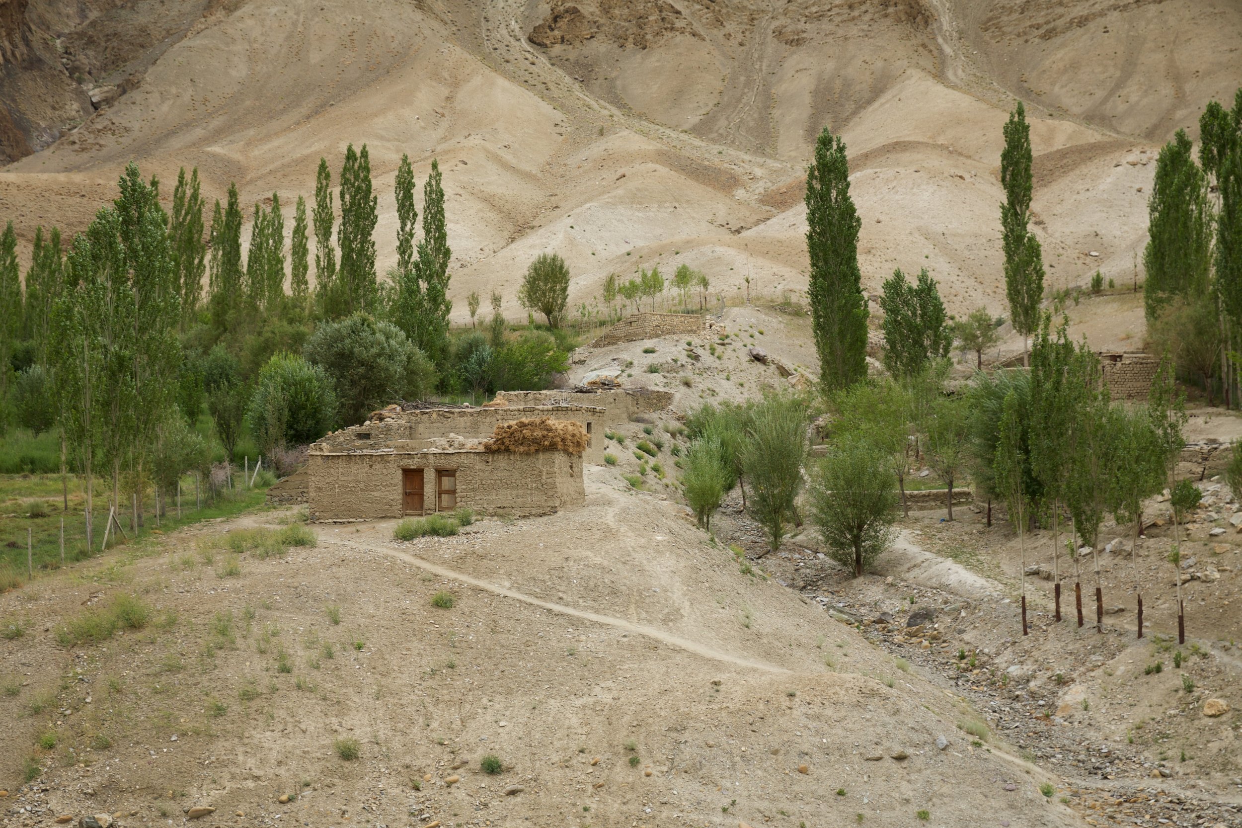
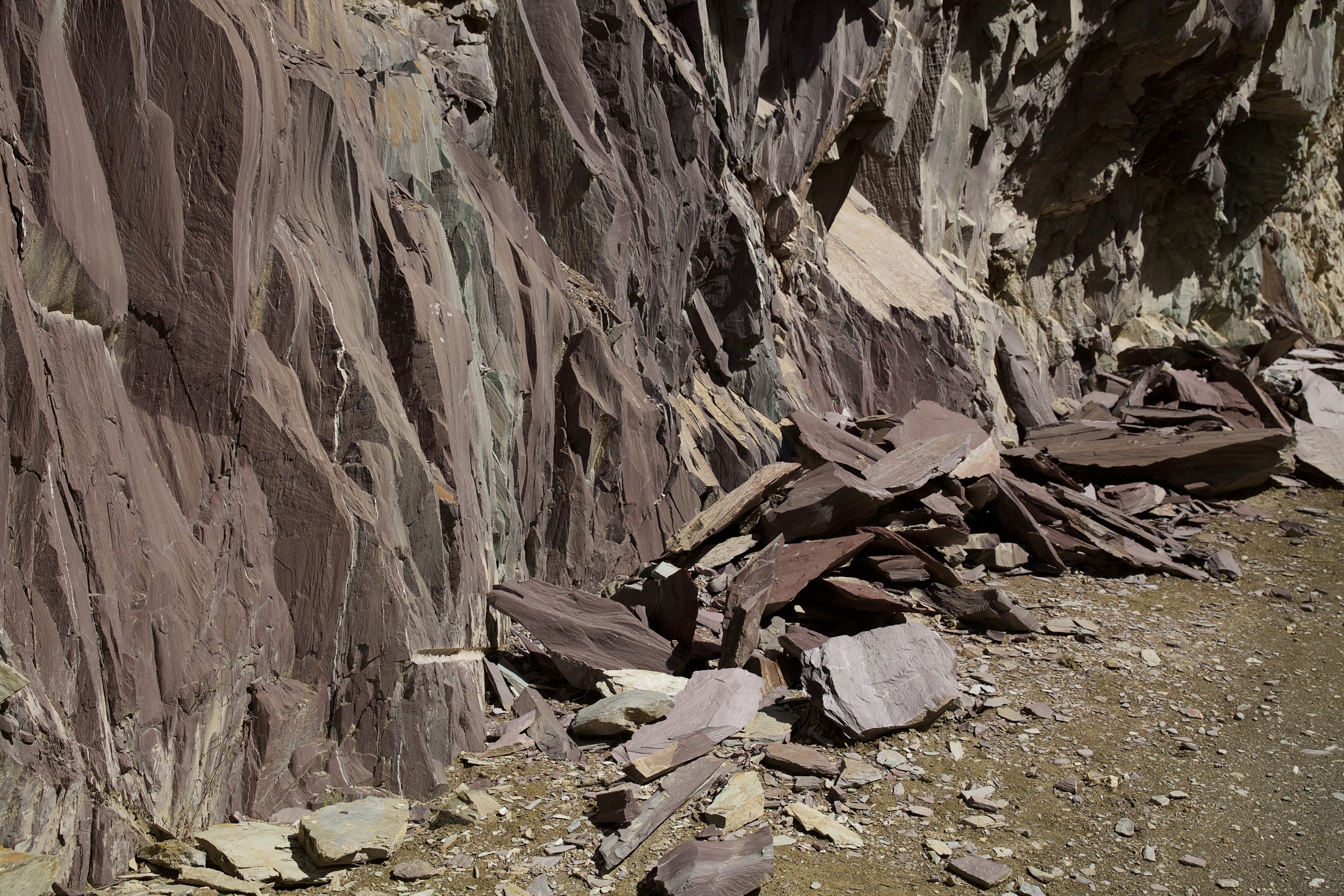
The next morning dawned bright and warm, and I embarked upon the switchbacked dirt road from Phonjila to Hinju, the day’s destination. The journey to Hinju makes for a relatively short walk but is also both exposed and uphill. The scenery gets wilder and more fantastic with every meter gained. One of the hallmarks of the Zanskar region is the rock shards piled high on the roadsides, or even strewn across the mountain highways, leaving unsettling overhangs in the cliffs where tons of their mass have dropped away to be trampled under passing boots, hooves, and tires. For the most part, I gave these cliffside caverns wide berth. Once, out of curiosity, I dug my hand into the side of the mountainside next to me; I came away with a fist full of sandy lavender rock and a renewed sense of gratitude for the fact that I was walking up this ephemeral avenue instead of driving.
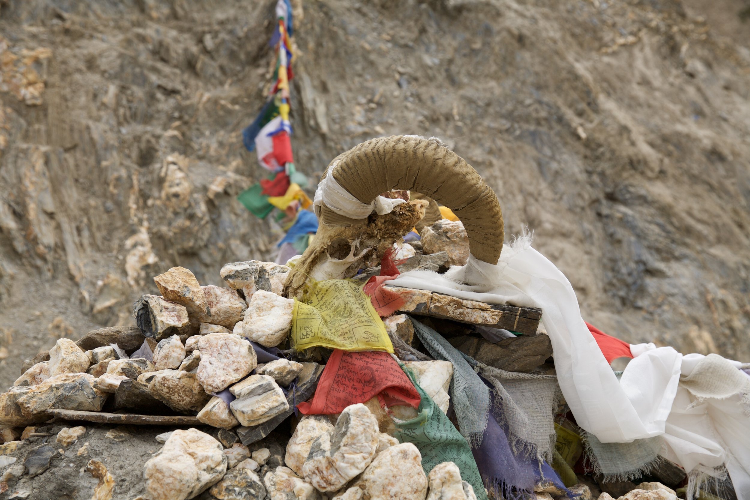
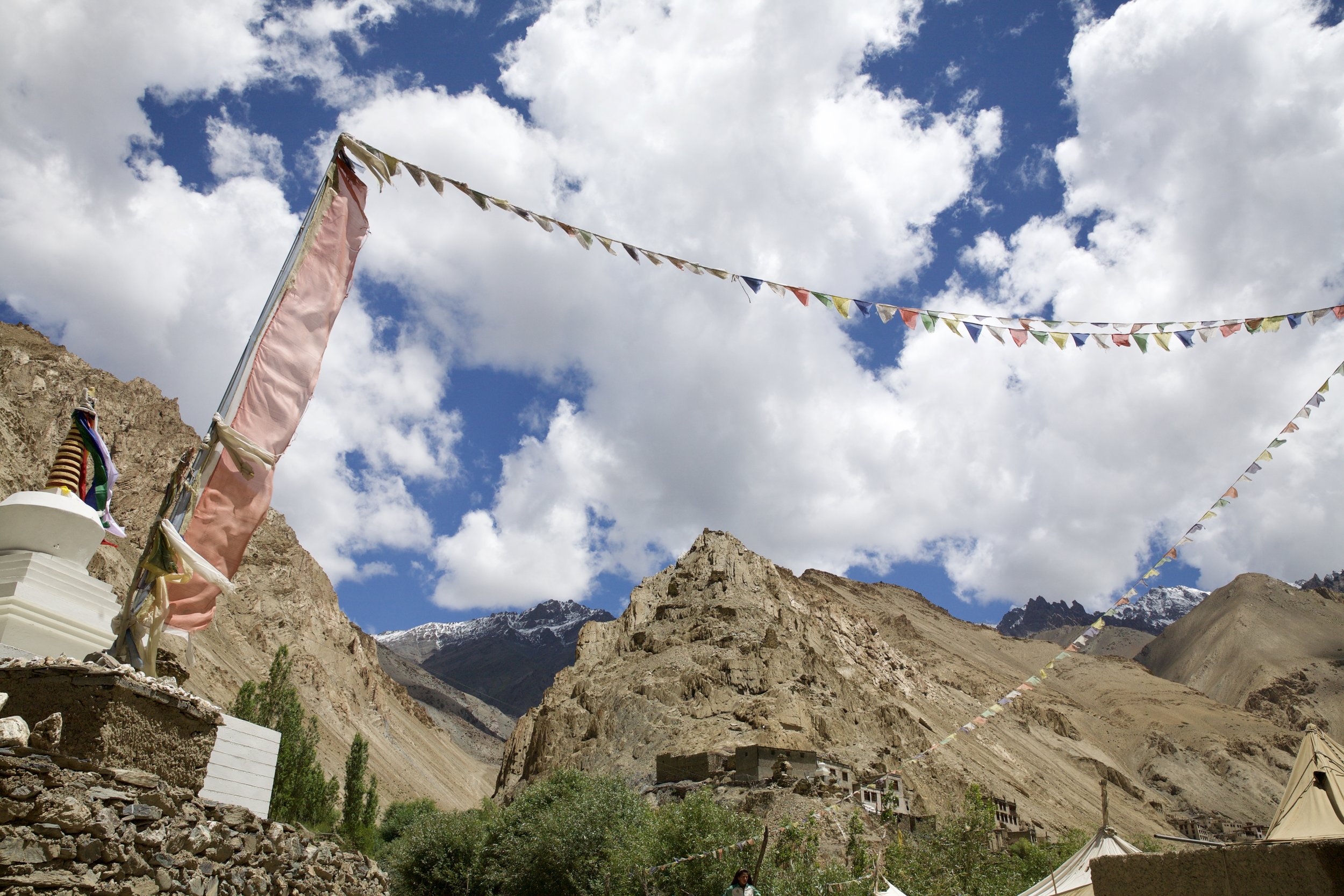
Three stocky chortens and a fluttering line of prayer flags outside Hinju mark the end of the road in this remote section of Ladakh. At just below 3,800 meters, a bubbling glacial stream and half kilometer of neat Tibetan-style homes is the last sign of civilization for many miles. I plopped down in a plastic chair beneath a tarp propped up by sticks after the road took a left bend and petered out. A hand-lettered sign with the words “Restrant” and “nodles” promised a hot lunch of packaged ramen with a few garden chives tossed in. The proprietress pointed me toward a steep hill on the left side of the valley. “Homestay,” she said. “Good bed.” I stopped at a creaky water pump to fill my water bottles, trooped past a sun-bleached ram skull standing guard over a needle-thin hill path, and leaned into the last climb of the day.
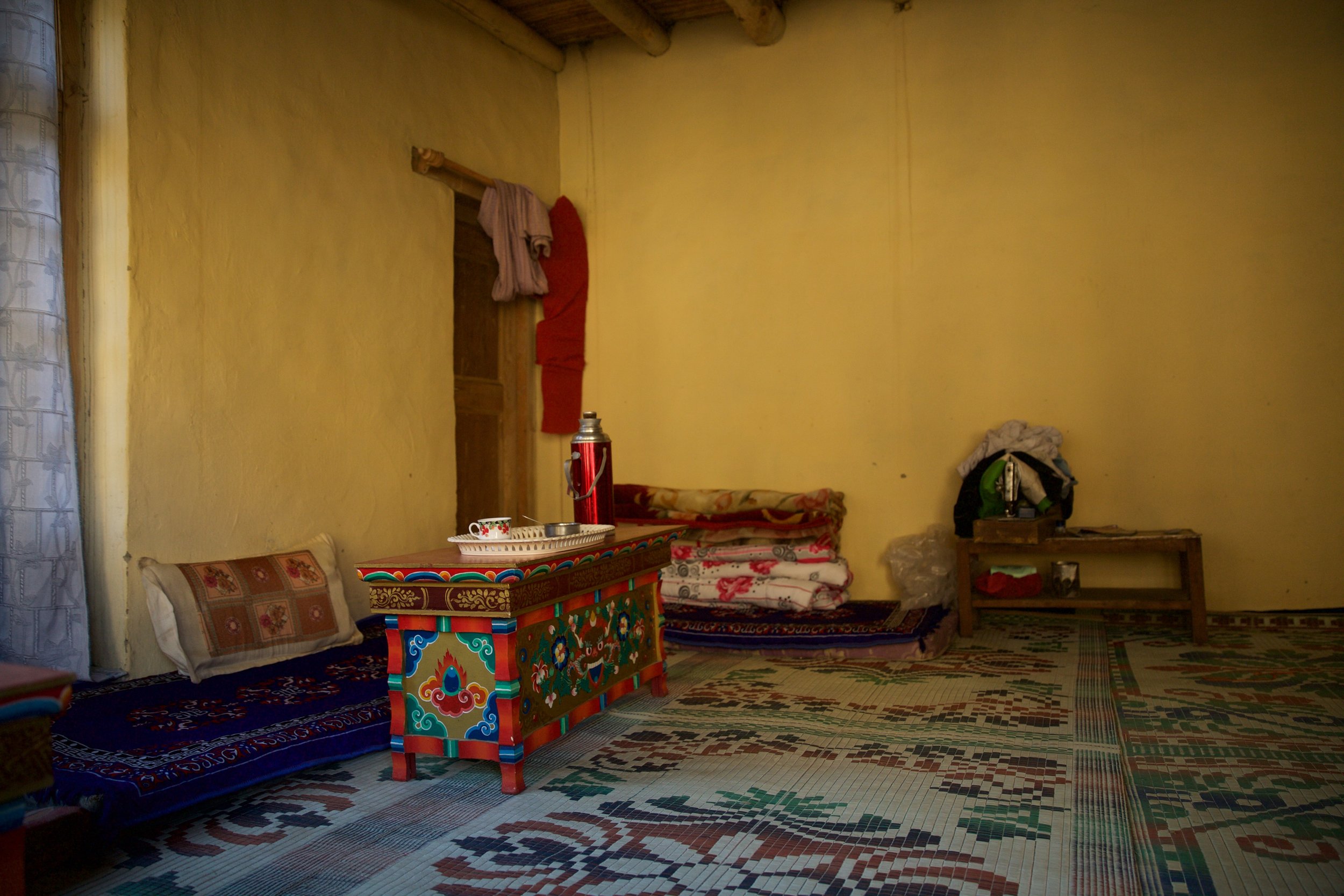
My homestay host that evening was an leathery old woman in a threadbare black dress who served me heaping scoops of rice and fried greens. I was grateful for a few hours of sunlit peace on the top floor of her house, spent sipping sweet black tea and anxiously poring over my map and guidebook in anticipation of the next day. For those who, like me, rely on homestays for shelter and food, the next section of the trail to Chilling stretches a beastly length and crosses a major pass—the Konzke La (alternate translations spelled Kungski or Konski), a whopper at 4,950 meters—on the way to the next high-altitude hamlet of Sumda Chenmo, deep in the mountains. The Mexicans had, in theory, crossed the pass already...assuming they were able to drag themselves out of bed by 5 AM for a killer day after they had walked late into the evening the day before. I settled onto the well-used mattress on the ground and resolved to leave by 4:45 the following morning with the aim of crossing the pass before noon and making it to Sumda Chenmo by the time the sun sank behind the ridgeline.
My early rise plan held up until I realized that breakfast and the attendant (highly necessary) packed lunch provided by my hostess would be arriving much later than I’d thought. By the time I bolted down leftover rice and greens and shoved the tin foil-wrapped lunch into my rucksack, it was nearing six o’clock and light was starting to leak into the valley. I made good time for the first few hours, huffing and puffing past a sleepy campsite barely stirring and overtaking a young Quebecois couple I’d met on the road from Phonjila the previous day. When I stopped to photograph some lonely chortens and the pale orb of the moon lingering in the sky above the mountaintops, I ran into a Swiss pair who were also coming from the village. They weren’t counting on making it over the pass that day, they told me; they had treated themselves to a homestay the night before, but like so many others on the trail, they were carrying a tent and would camp on the flanks of the mountain, allowing them to cross the pass early the next morning. I had yet to meet anyone else who was planning on going straight from Hinju to Sumda Chenmo—a troubling sign.
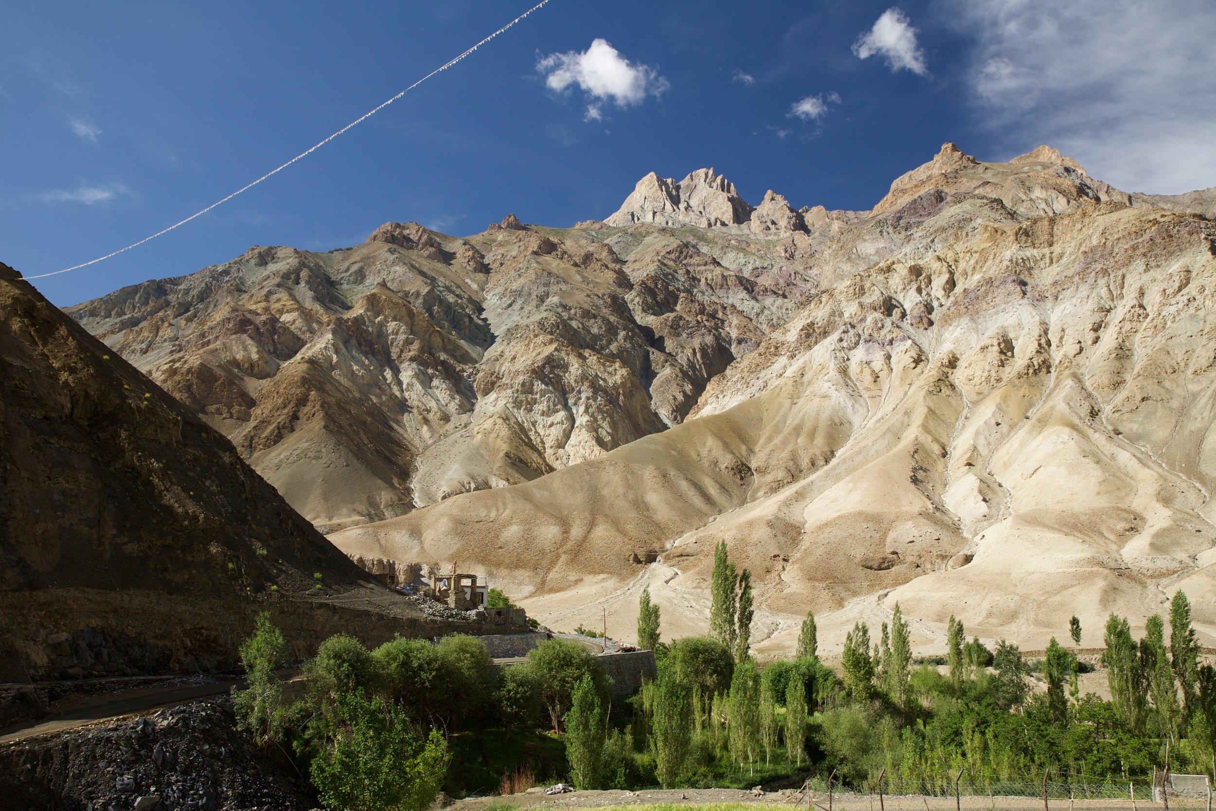
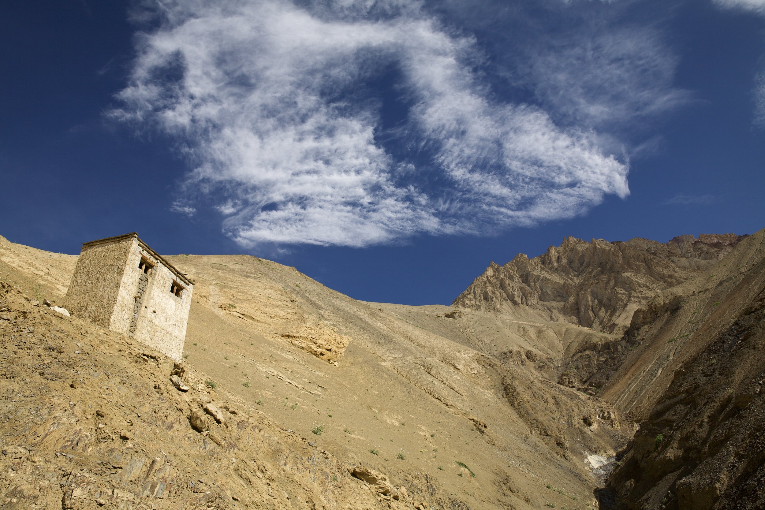
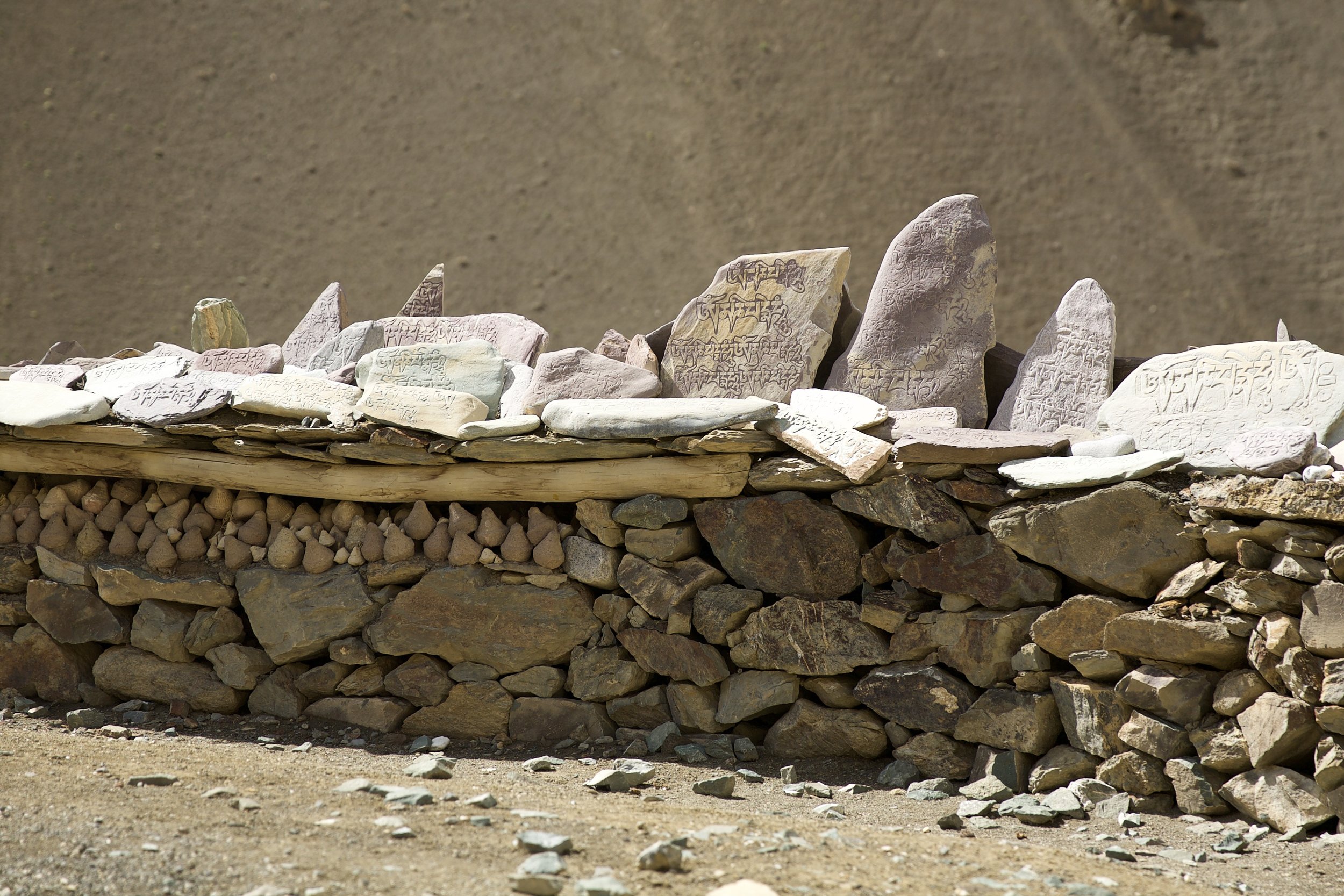
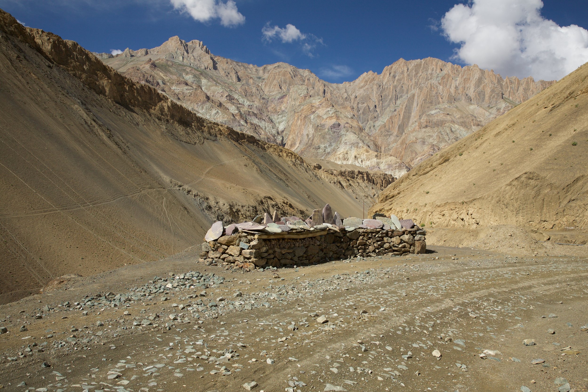
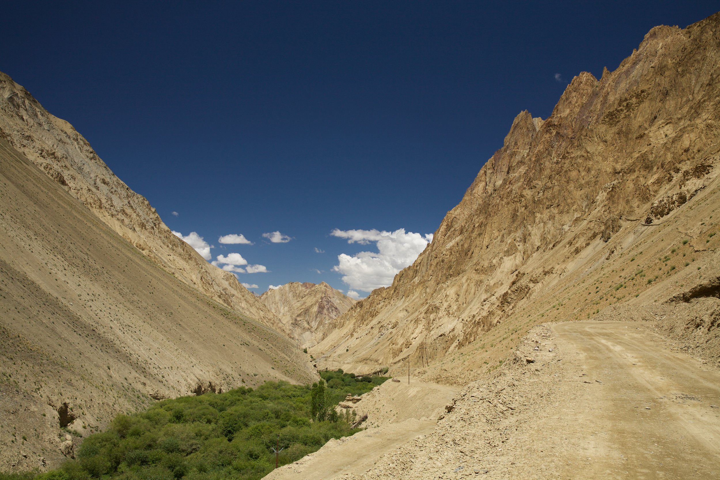
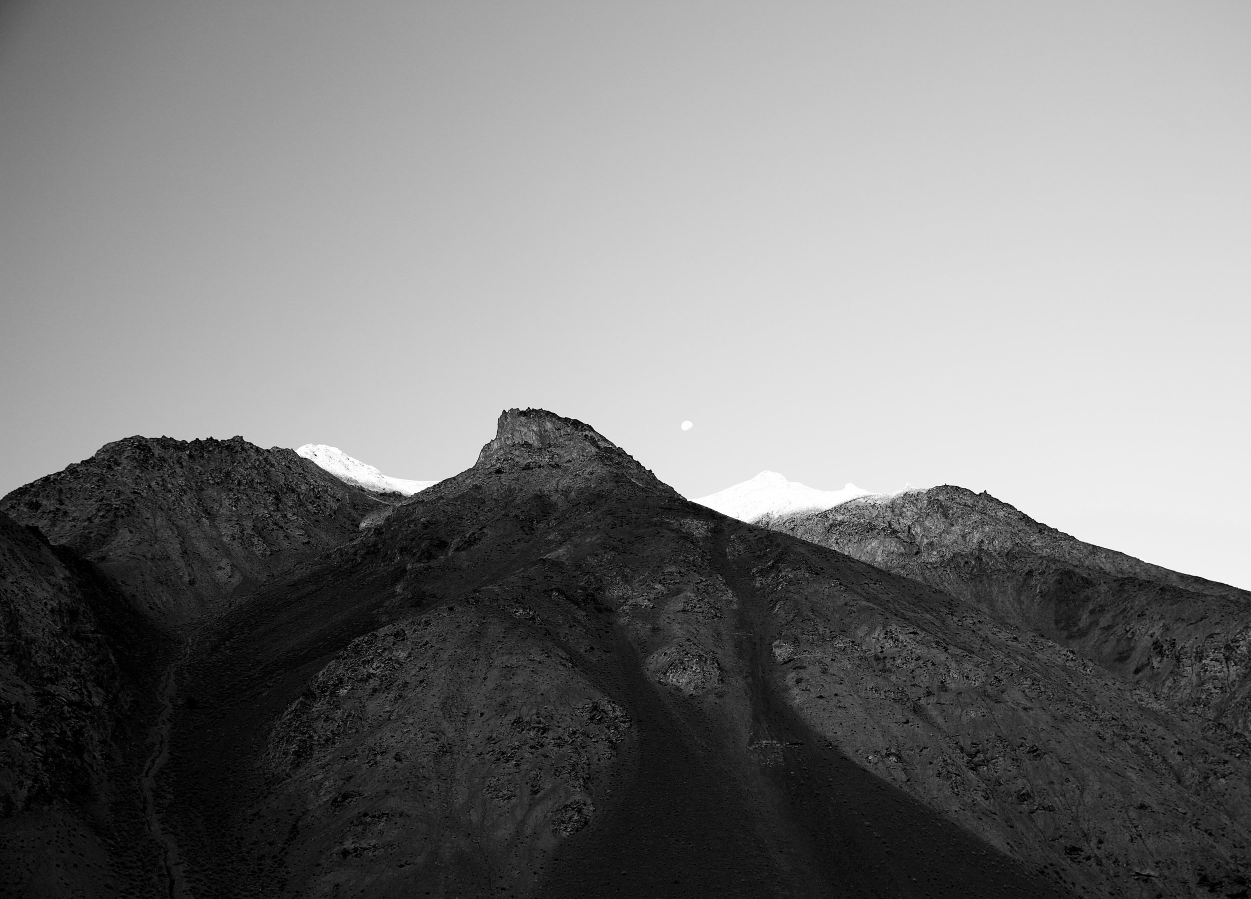
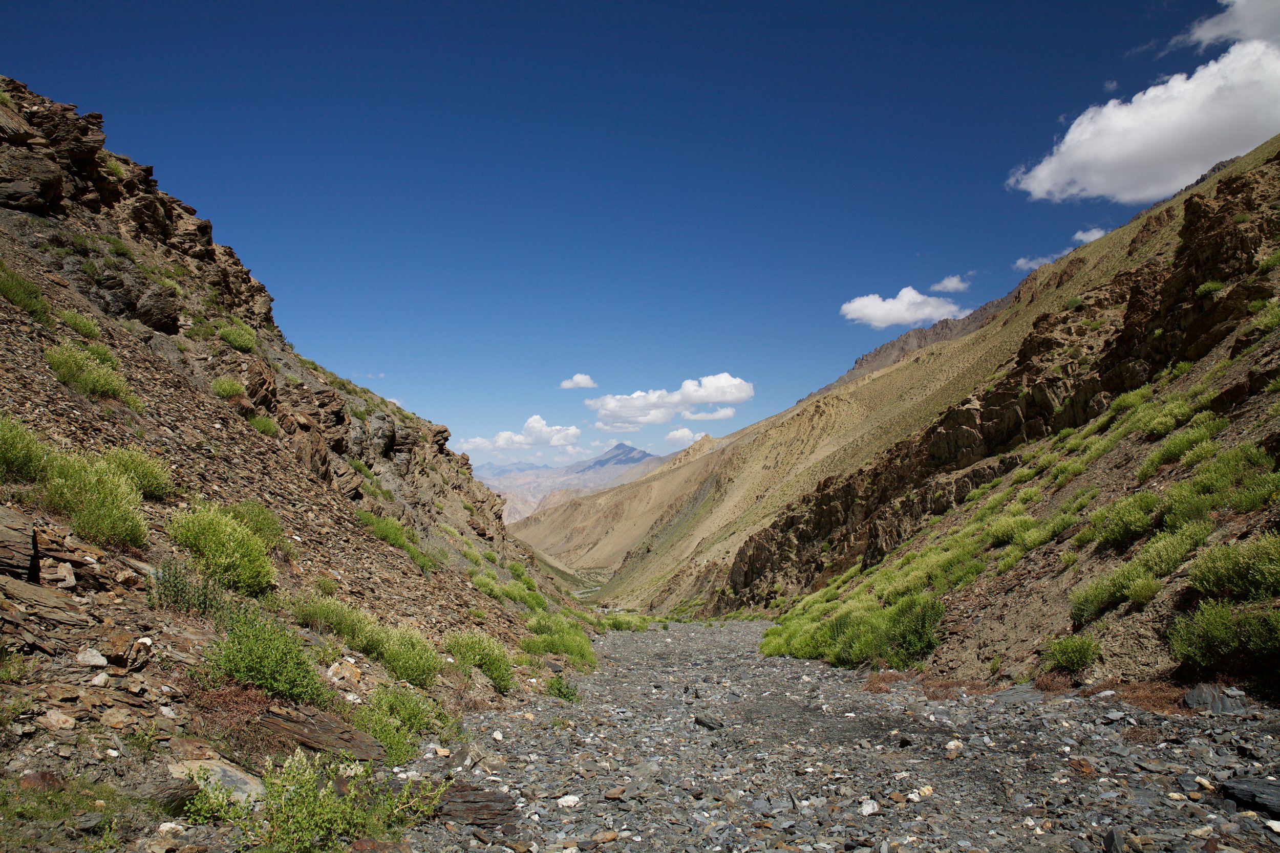
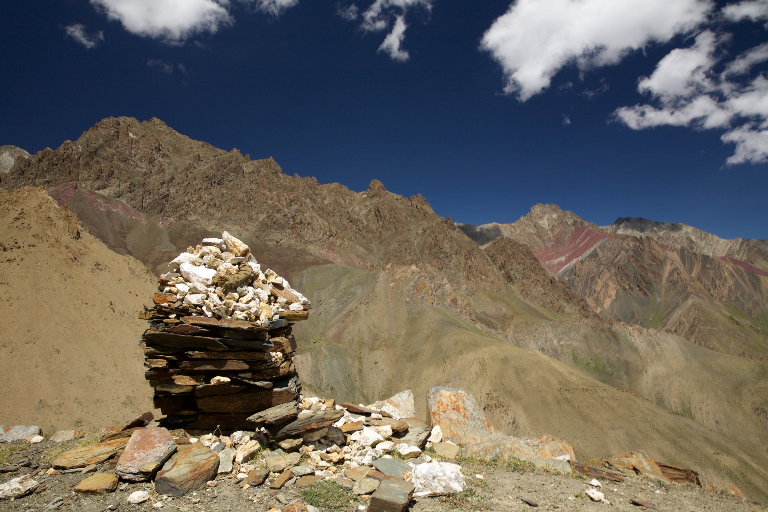
I hurried on, following a dry riverbed as it curved up toward the head of the glacial valley, and after two increasingly breathless hours found myself at the beginning of a sharp, clear-cut path onto the mountain itself. Panting turned to gasping as I ascended alarmingly narrow hairpin bends, jagged snow-covered pinnacles soaring on either side of me. I spotted three other trekkers far ahead, small daypacks on their backs, and was glad to know that I was at least heading in the right direction. At half past noon, the ascent halted and the wind reached a howling peak: There was nowhere else to climb. A ragged band of prayer flags adorned the bare dip of the pass; my head spun, both from the dizzying altitude and the raw, savage beauty unfurled before me on both sides of the saddle where I now stood. I spent half an hour traversing the thin strip of land, basking in the sun, sweat dried by the ferocious wind. I had that feeling of joyful inevitability, of having finished...a feeling that trekkers know as a siren song that tempts us to forget the painful necessity of having to come down the mountain—often a much more dangerous prospect than going up.
The descent from Konzke La was, fortunately for my knees, only mildly treacherous. I reached the bottom by two o’clock and celebrated with a hard boiled egg and half a dry chapati. Hunger gnawed at me as I hopped over boulders and criss-crossed a painfully cold stream that ribboned down the valley from the pass. I’ve realized over time that when I’m in the mountains alone, I adopt the food strategy of a shelter dog: I refuse to finish what I have until I can see up close who’s going to be providing me with more.
I tramped along in the brilliant sunshine, a breeze at my back, feeling buoyant, bold, unstoppable. A few kilometers past the bottom of the pass, a porter and guide were making camp for their three Indian clients next to the stream. I pointed down the riverbed as I drew level with the group; the trekkers were sipping tea, wrapped in windbreakers and scarves. “Sumda Chenmo is this way, yes?” Their guide looked at me dubiously, nodded once, and turned back to the tent he was pitching. Figuring I had another hour to go at most, I returned the headphones to my ears and plodded on, relishing what now felt like a benevolent abundance of oxygen in the atmosphere. It was nearing three o’clock, and the sun wasn’t fated to be above the towering mountain ridge for long, but it was also high summer. Even if the village was farther than I reckoned, it would be many hours until it was fully dark.
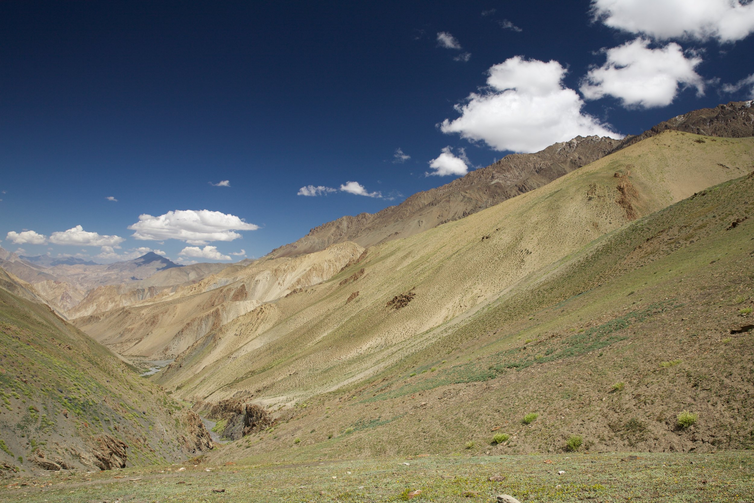
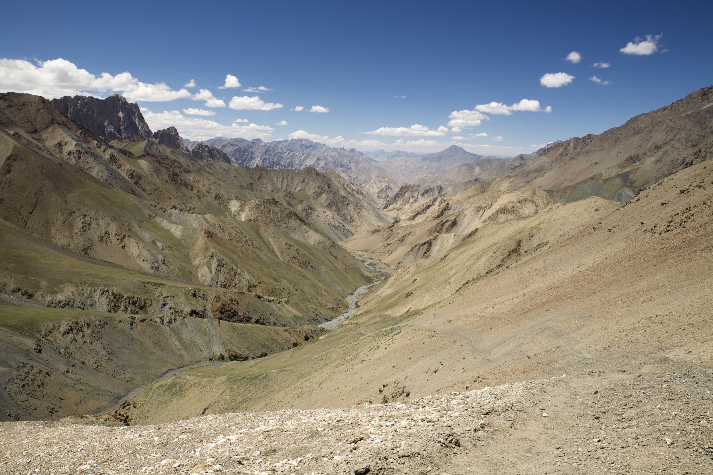
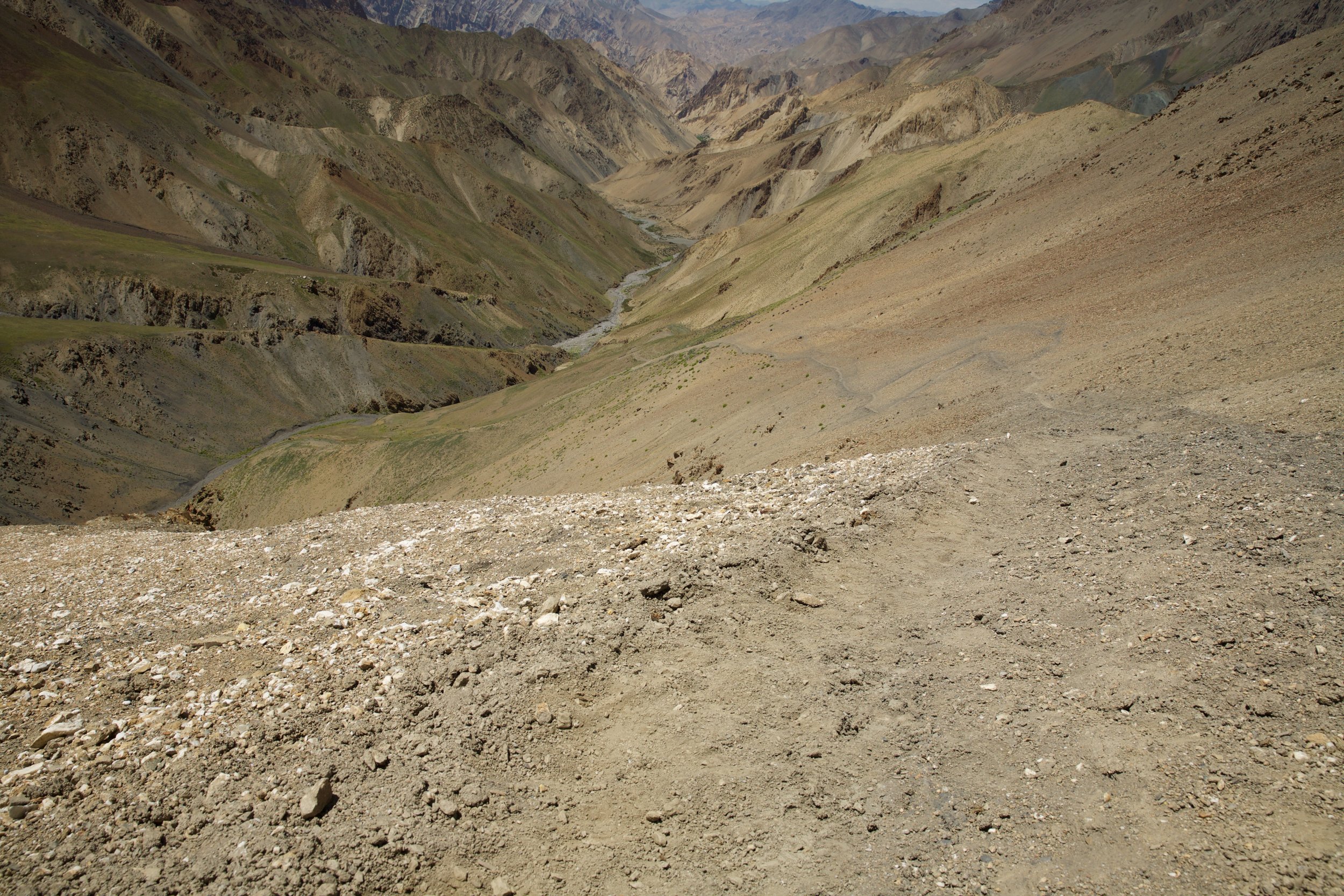
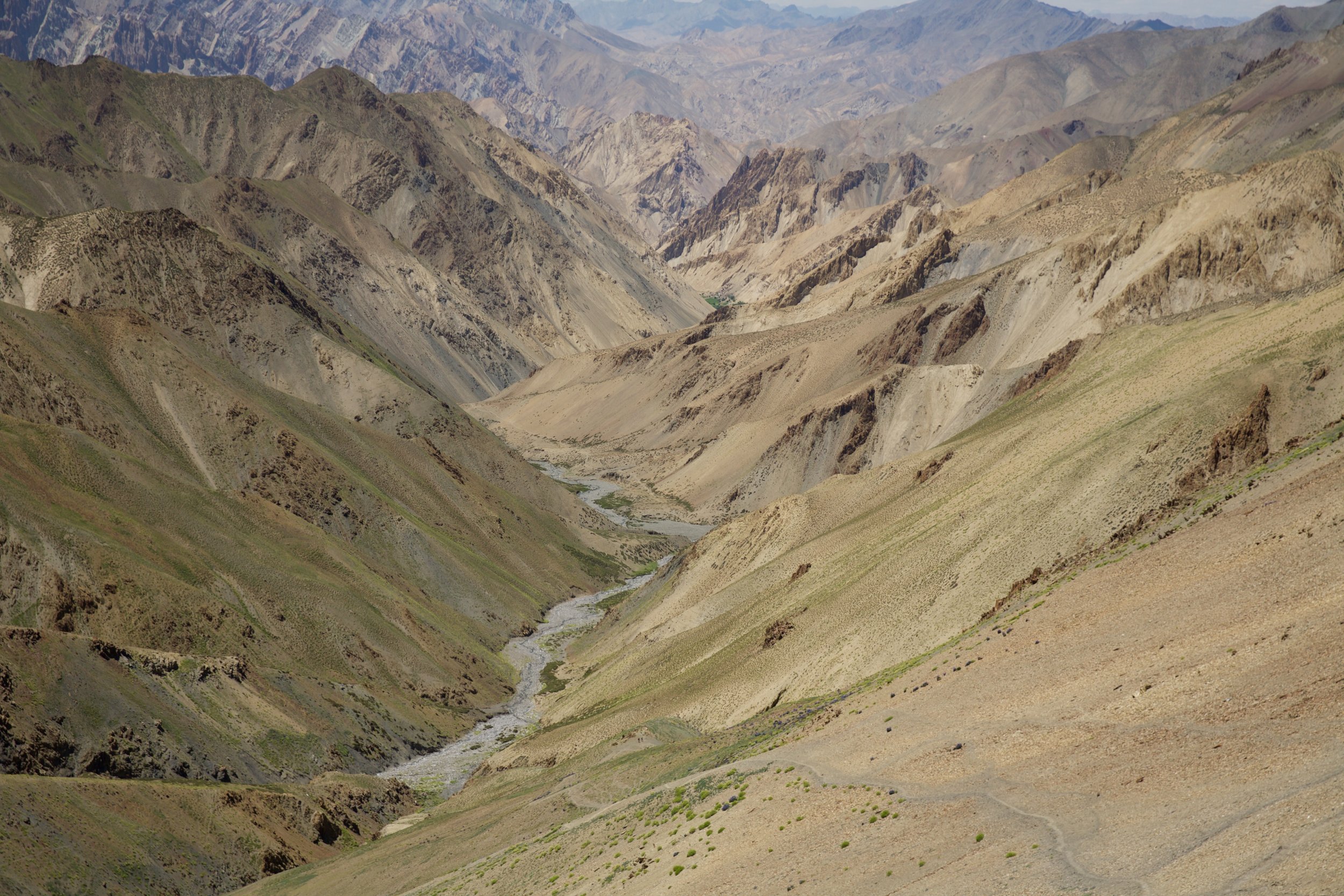
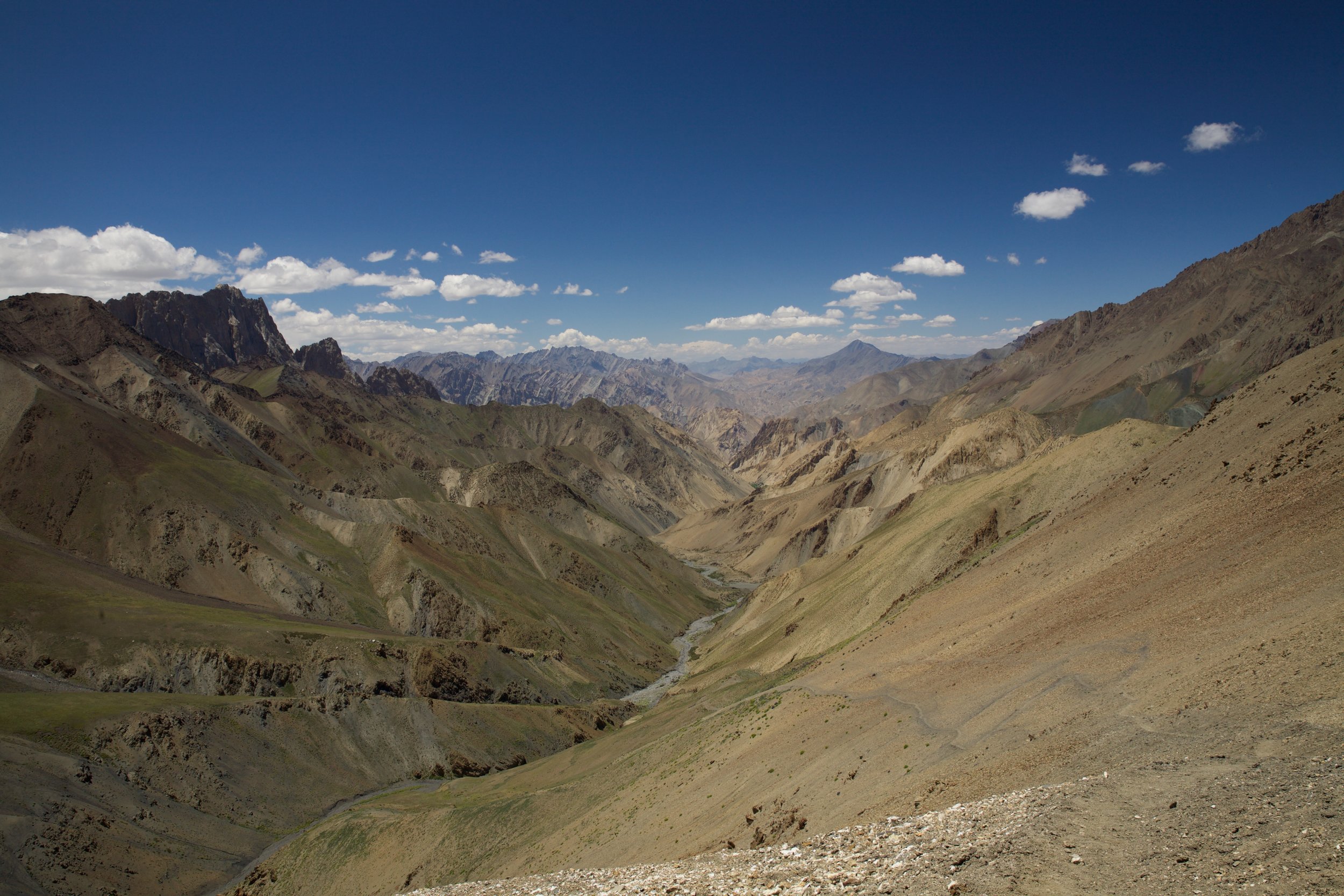
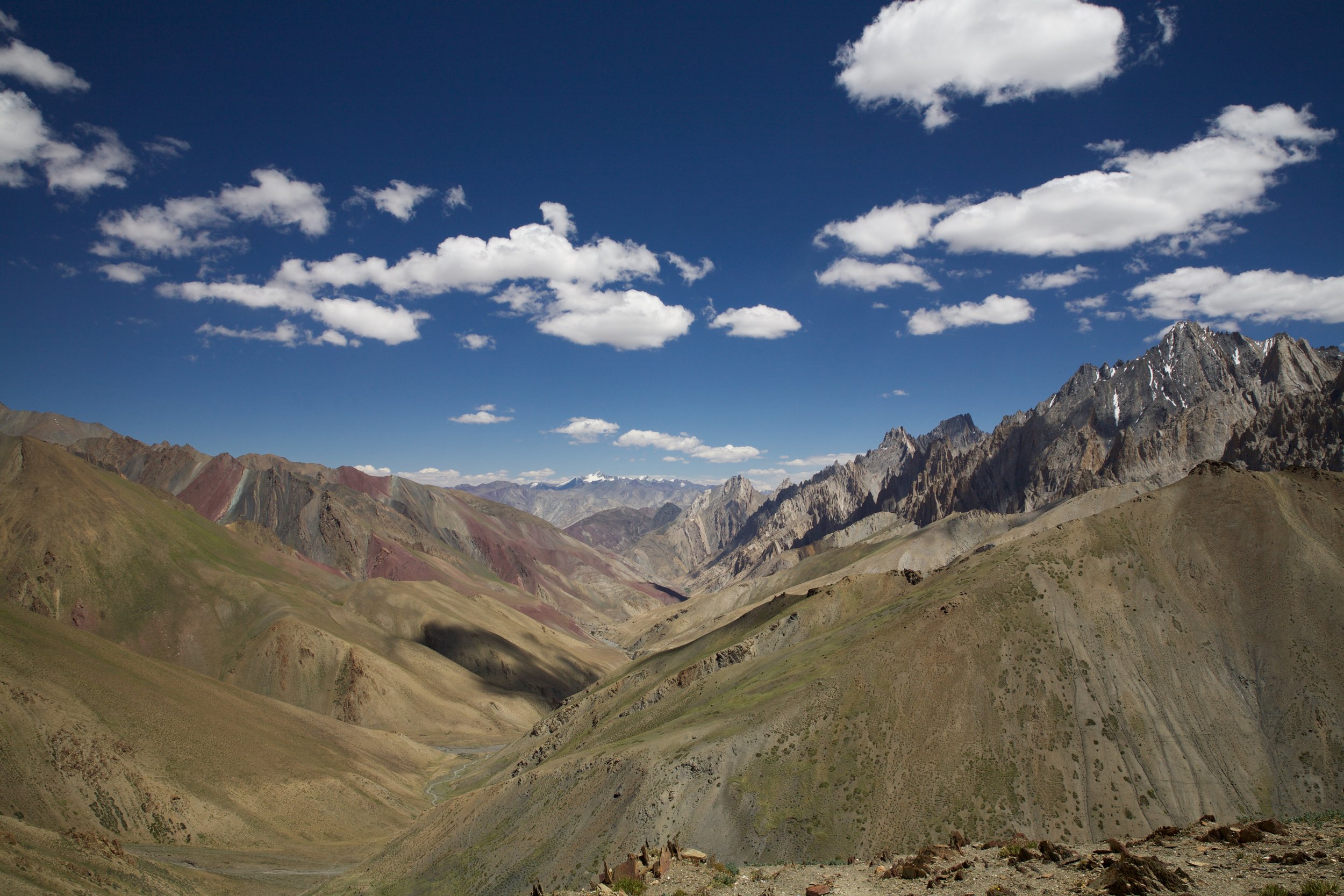
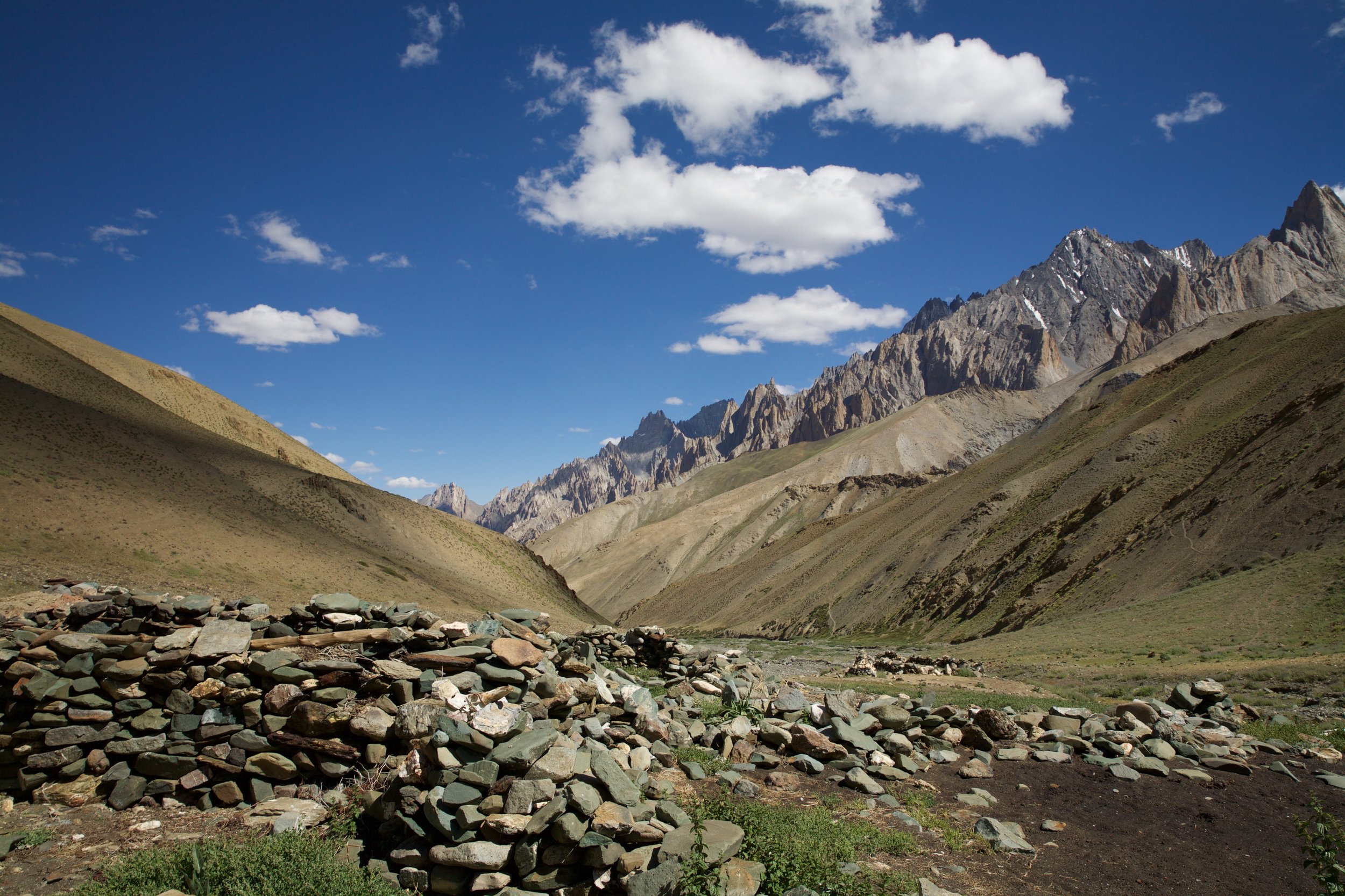
The first sign of trouble came when the steady gurgling of the stream turned into the rush of an actual river. Guidebooks and trail maps can’t reliably tell trekkers how many river crossings must be undertaken, or where, when the water flow is dependent upon glacial melt and other seasonal features like erosion and rock fall. I knew there would be numerous river crossings before I reached the village on the left bank, but I felt unwelcome tendrils of fear in my chest when I realized the river section wasn’t behind me, as I’d thought—I was reaching it now, a full three hours after I’d crossed the pass, in late afternoon when the water was highest.
River crossings in Ladakh, and indeed in much of northern India, can be treacherous and are almost always time-consuming. Currents are strong, and as you might expect of something whose origin is a glacier, the water is ice cold. For crossings waist-high and up, most people rely on ropes or animals to ferry them safely across. The river on the trail to Sumda Chenmo was only knee-deep: not high enough to warrant ropes, but high enough that I had to remove my boots every time I crossed the flow. For the first hour or so, I dragged off my dirt-crusted boots, donned river sandals, splashed through, and then dried my feet so I could slap the boots back on; after two hours I’d abandoned this lengthy process and had resorted to stumbling over the uneven riverbed terrain in my secondhand sandals between crossings—bad for the ankles, but faster. The sun had long since sunk below the walls of the valley.
Scanning the empty hills above me, I felt a flash of terrifying certainty: I’d missed the village entirely. It had been out of view behind a low ridge, up one of the tiny hill paths covered in scree that I’d stopped exploring because they invariably entailed a punishing climb followed immediately by a steep slide down to the same riverbed I’d just left. But one of those paths must have led to the village; I was absolutely sure. In fact, it could have been hours ago that I’d passed the crucial path up. For all I knew, I could be halfway into the next section of the trek—a section that contained what appeared to be the only tricky navigation elements of the whole ten days, involving a hard-to-interpret river turn and a potentially defunct trail up to a double set of high passes. In other words, I was quite literally in the middle of nowhere, with no tent, no sleeping bag, very little food, and no sure knowledge of where a settlement might be. This was, to put it mildly, suboptimal. More to the point, however: What now?
My watch read 6:01 PM. I gave myself one hour to backtrack up a few of the knife-edge hill paths decorating the left side of the valley like garlands. By 7:10, I’d found a few free-standing chortens, but none of them seemed to be guarding any structures or settlements except a ruined shepherd’s hut with three low walls, no roof, and an unappetizing smattering of animal dung. I walked a further 45 minutes downstream, the way I’d been walking before my flash of intuition, and finally sat down on a brush-covered tussock next to the river. Slow night was falling, and to put it mildly, I was beat. My calves groaned from the climb, my quads ached from the descent. I downed half of my remaining chapati, put on all the clothes in my pack, and lay down next to a boulder perched a few meters above the river. It was summer, but summer nights at 3,800 meters are not balmy, and the wind hadn’t abated. I sheathed my body in my flimsy silk sleeping bag liner, positioned my backpack in front of me to block some of the gusts, and strapped the pack’s weather-resistant rain cover around my torso. Most of all, I thought about what I was going to do when the sun rose.
I was cold. There’s no poetry in shivering. I was cold, but the Himalaya was undeniably beautiful even in semi-darkness: calm in its vastness, otherworldly stark and still. I knew from reading trail reports that there are wolves that roam the mountains, but my guidebook insisted (and strangely enough, I believed) that they keep to the highest reaches of the peaks in summertime when prey is plentiful. Despite my concern about this rather grave navigational error, I was appreciative at first of what a good story this cock-up would make: A night spent on the ground in the Himalaya! Fateful adventure! It’ll be like the Hunger Games! By midnight, however, after hours spent shaking on the rocky ground, I remembered that the whole point of the series is that the Hunger Games are abjectly terrible.
A summer moon rose and set, resplendent; I watched it trace a vivid arc across the belt of open sky between serrated ridgelines, an orb so bright that the valley floor was almost as visible as it would have been in daylight. I wondered, in the surreal glow, if I should pack up my things and walk onward, but fatigue kept me anchored to my patch of darkling dirt until the first hint of morning bathed the mountain walls in warmer light. I felt slightly dizzy from exhaustion and hunger as I walked unsteadily over exposed stones made slippery by the previous day’s high water. The alpine corridor made one leftward turn, then another, keeping the trail’s progress from view. Every few minutes I slowed and wondered, with a growing bloom of panic, if I ought to turn around and seek out the few hikers who might be coming over the pass this morning and ask them for guidance, or food. High stakes made for frequent hesitation.
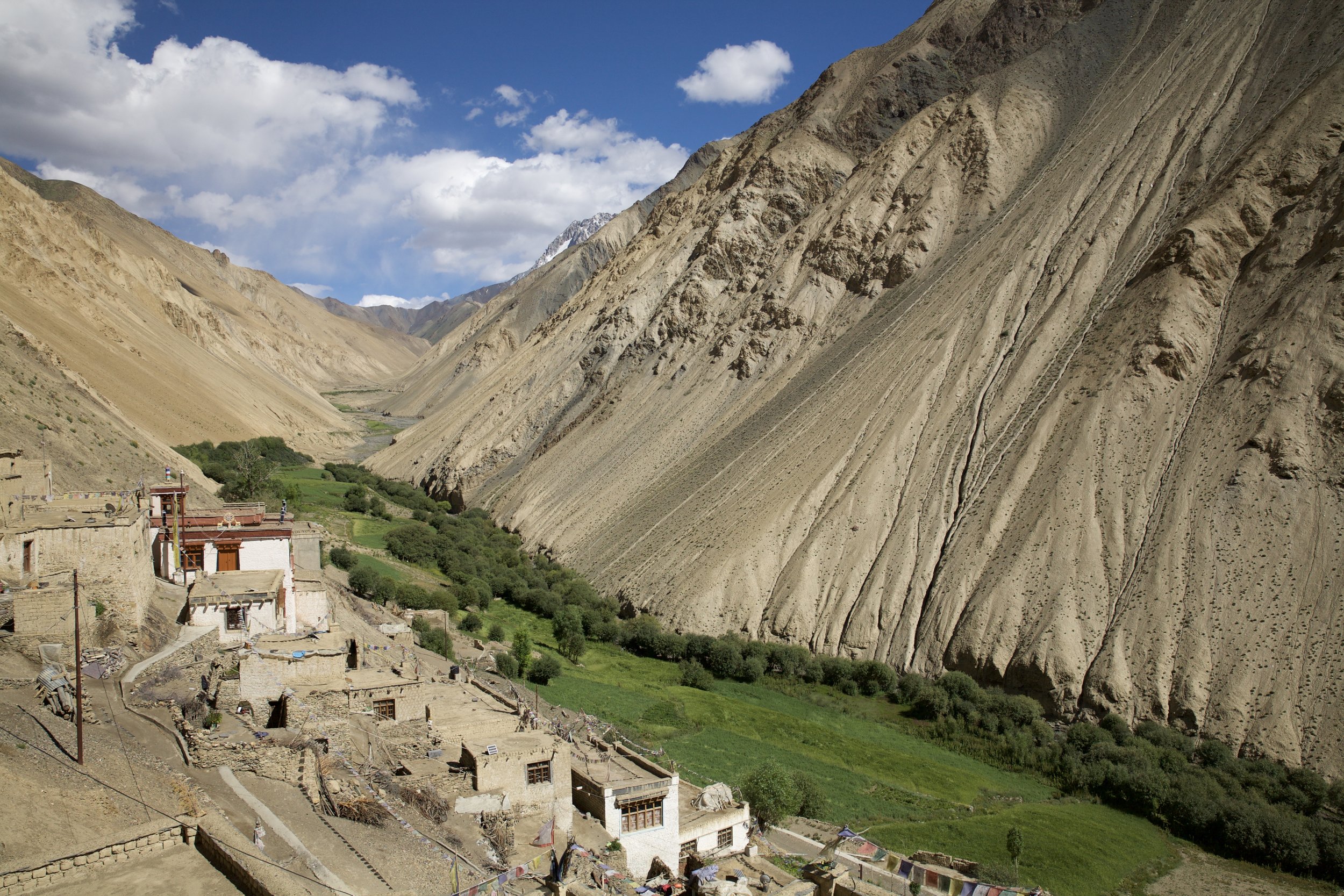
And then it was there. Gold in silt, torchlight in fog: A hill path, clear and well-kept, snaking its way up a cliff on the north side of the valley to meet a waiting chorten. The path hugged the mountain around one last bend and the village burst into view, lined with irrigated greenery, a jewel in a bed of rock. I’d been wrong; there’s no way I could have missed it. A short walk on a little winding throughway led past scruffy orchards and symmetrical houses, several of which proclaimed their status as homestays. I stopped, dazed, beneath an ornately carved doorway with a red-lettered homestay sign that dispelled the last lingering question: “Sumda Chenmo” was printed neatly at the bottom of the painted square. I’d arrived exactly where I meant to—it had just taken much longer than anticipated.
The village was only just beginning to stir. It’s unusual for trekkers to turn up early in the morning asking for a bed, so it took several hours for the confused hosts of Sumda Chenmo to find out whose turn it was to house a walker for the day. The homestay system in Ladakh works on an honor-bound rotating basis: Villagers try to ensure that everyone in town has a share of the profit homestays bring, so it’s common for local people—in particular women and school-age children who are home for the summer—to stop off at one another’s homes and call out over rooftops and gardens to determine who’s next in line to dole out tea and rice to trekkers. Often I’d inquire whether a homestay house had space and would receive a polite refusal from the proprietors even when rooms were obviously empty; eventually I came to understand that this didn’t mean the hosts were unwilling to have guests stay, but rather that it was someone else’s turn.
By mid-morning, a young family had given me a mattress on the floor of their guest room and brought out a thermos of black tea and a plate of barley biscuits that I consumed with indecent enthusiasm. The family member with the best English was, unsurprisingly, a ten-year-old girl who poked her head into the room at frequent intervals to see whether the wild-eyed backpacker had emerged from her cocoon of blankets. When I at long last morphed back into a well-fed, semi-rested human being, she sat down across from me, beaming, and asked shyly if I was from America. This question is asked with bewildering, bracing, breathtaking regularity: If ever I should forget the stranglehold the USA maintains on global imaginations, I would only have to step outside its borders to be reminded, by someone like this luminous creature, of the tragic and triumphant power of the American mythos. I told her yes; she proudly informed me that her favorite television show is America’s Next Top Model. And so it goes.
I was on the trail by half past six the next morning. I looked back just long enough to appreciate how well and truly isolated these hardy people were; then I rounded another bend, and the village was gone as quickly as it had appeared. The day’s goal was Chilling, a town popular with whitewater rafters who throw their welfare into the hands of the Zanskar river gods and ride puffy yellow boats two days down the river to Leh. Chilling was the midway point of my trek and marked the end of the Zanskar region; across the river and a quick two hours’ walk east was the trail through Markha Valley, where I was guaranteed more companions than I’d seen on any segment of this path.
There was, however, a problem. Chilling was eight to ten hours southeast of Sumda Chenmo, over yet another dauntingly high ridge that lay between the mighty Zanskar River and the smaller, craftier Sumda Chu I’d crossed so many times two days earlier. The Sumda Chu is joined, an hour or two past Sumda Chenmo, by a tributary; according to my maps, this tributary is the signal to cross to the opposite bank of the river and search for a trail up to the Pagal La, a 4,200-meter-high fakeout that takes hikers back down to the upper 3,900s before a brutal climb up to the Dundunchen La at 4,700 meters. The problem was twofold: The flow and positioning of the crucial tributary varied seasonally, and there was no guarantee the trail to Pagal La would be discernible. If I missed either of these two steps, I’d be walking for hours in the wrong direction, with no village in sight.
In peak season, the uncertain trekker’s navigational cheat is following the droppings of pack animals plying popular routes between villages or campsites. In other words, if you’re lost, follow the donkey shit. That was my plan as I scrambled down the steep embankment toward the riverbed where the trail picked up half an hour outside the village. The Sumda Chu gurgled peacefully in the early morning chill. Not 45 minutes out of Sumda Chenmo, the Chu absorbed two different streams that could have been kindly termed ‘tributaries’ but were more likely summer snowmelt coming from peaks farther south. There were faint signs of donkey droppings ahead of me; I walked on.
I spent two hours climbing through heavy brush onto sandy hill trails that fell apart in my hands, only to have to scramble back down to the boulder-strewn riverbed. The water was rising quickly, and there’d been no sign of an obvious tributary or a path up to the passes. Another hour of increasingly risky rock jumping—no simple task with 12 kilograms of camera and other gear on my back—led to a clear stopping point: The peaceful morning river had turned into low rapids with a strong current, and there was a series of small but impassable waterfalls not ten meters in front of me. It wasn’t clear that backtracking through the gorge was even an option; aside from loss of valuable time, the river was still rising, and the rocks that were the only passable trail an hour ago might well be submerged by the time I reached them again.
I could see a suspiciously flat space along the cliff on the left bank of the river, perhaps 40 or so meters above the water. Such an even plateau in this terrain couldn’t be anything but man-made. I backtracked until I found a canyon wall I thought I might be able to climb without immediately plummeting from the cliff face. While I was crossing the river for what I fervently hoped would be the last time, the bottom of one of my trekking poles caught on an underwater rock formation, separated from its casing, and was washed downstream. I cursed under my breath as I clambered onto the opposite bank and untied the boots slung over my back.
I am not a rock climber. The climb out of that gorge ranks as one of the toughest things I’ve ever done, and it probably tops the list of the most dangerous. The cliff came apart in my hands and blanketed my clothes as I pushed frantically upward, using every ragged gasp of breath to keep vertical momentum from becoming a freefall. When I reached the plateau, heaving like an animal in its dying throes, I crouched motionless as much from shock as from fatigue: There was a road in front of me—a wide, flat, honest-to-god road lined with neat little rows of sharp rock on the cliff side. Where the hell had I ended up? There were no mapped roads anywhere in the vicinity of the the double pass.
The “follow the donkey shit” strategy had been a bust. It was close to noon, and after a long morning of riverbed navigation in wet sandals, I was more than happy to follow this mystery road wherever it led. Building roads in Ladakh is a dangerous, labor-intensive prospect; if a road exists, it’s absolutely necessary. There was no chance this one was a dead end. At worst, I thought, I’d take my chances in whatever lonely settlement lay at the end of this rainbow and attempt to find the Pagal La again the next day. Yangchen had been right when she’d told me back in Leh that I was blessed with time. As long as I could find food and a roof every day (or two), I was okay.
Newly lighthearted, I trotted down the blindingly bright road in the midday sun. A dark figure came around a bend several hundred meters away; it was an elderly woman, full baskets piled on her back. “Jullay!” She called out the universal Ladakhi greeting, grinning at me from beneath her head scarf. Pressing my palms together as a sign of respect, I returned her greeting and pointed in the direction she’d come from. “Dundunchen La is this way?” She threw back her head and laughed gustily—always a good sign. “No, no, no, no,” she said, shaking her head vigorously and raising her hands as if to push me away. “Dundunchen La there, three hour.” She indicated the way I’d been walking for most of the day, then turned to point back the way she’d come. “This Sumda Do.”
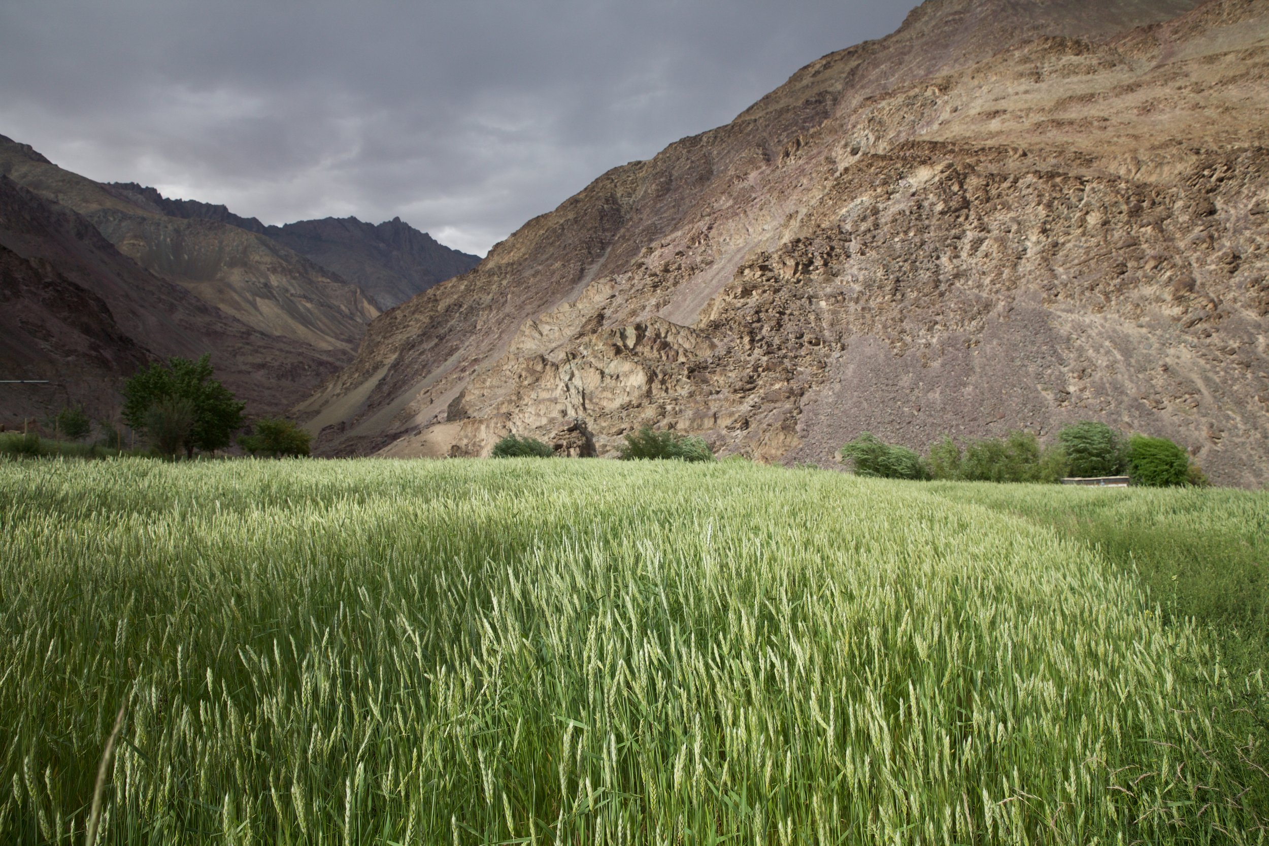
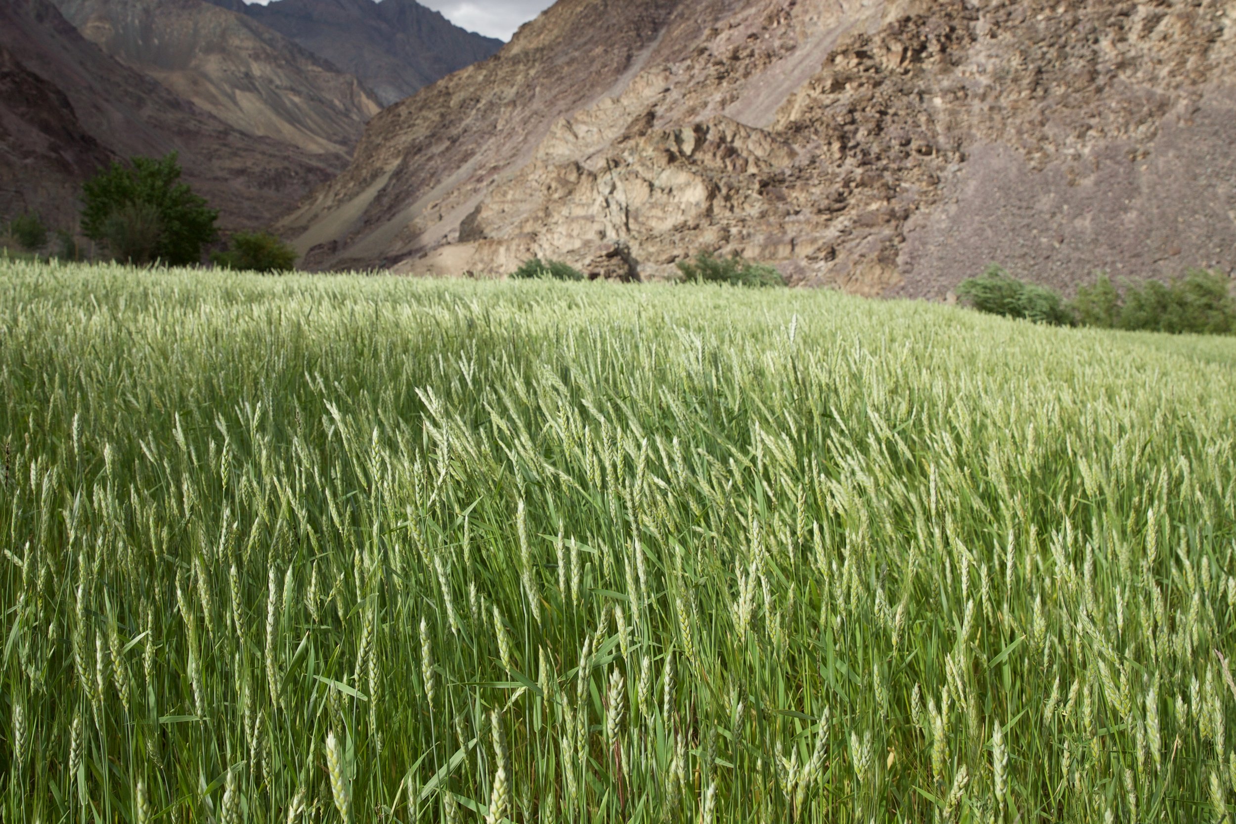
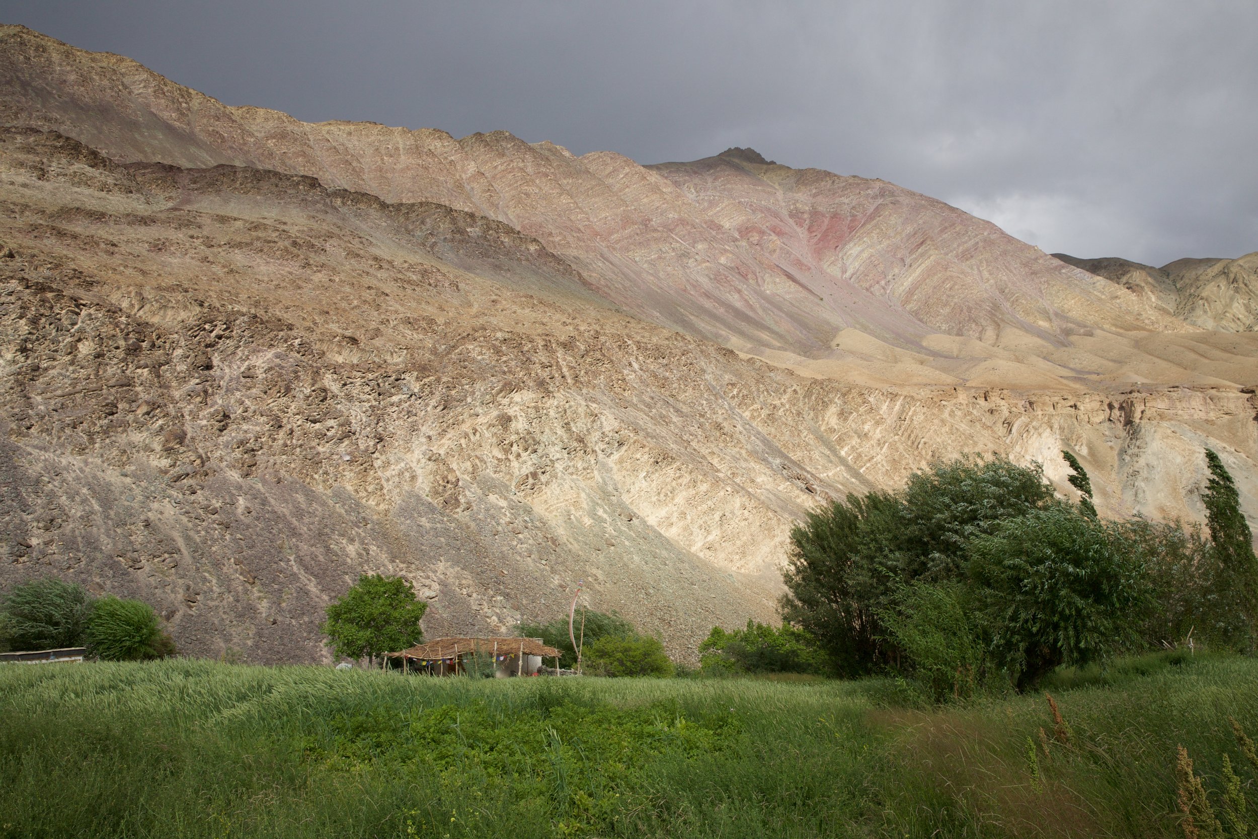
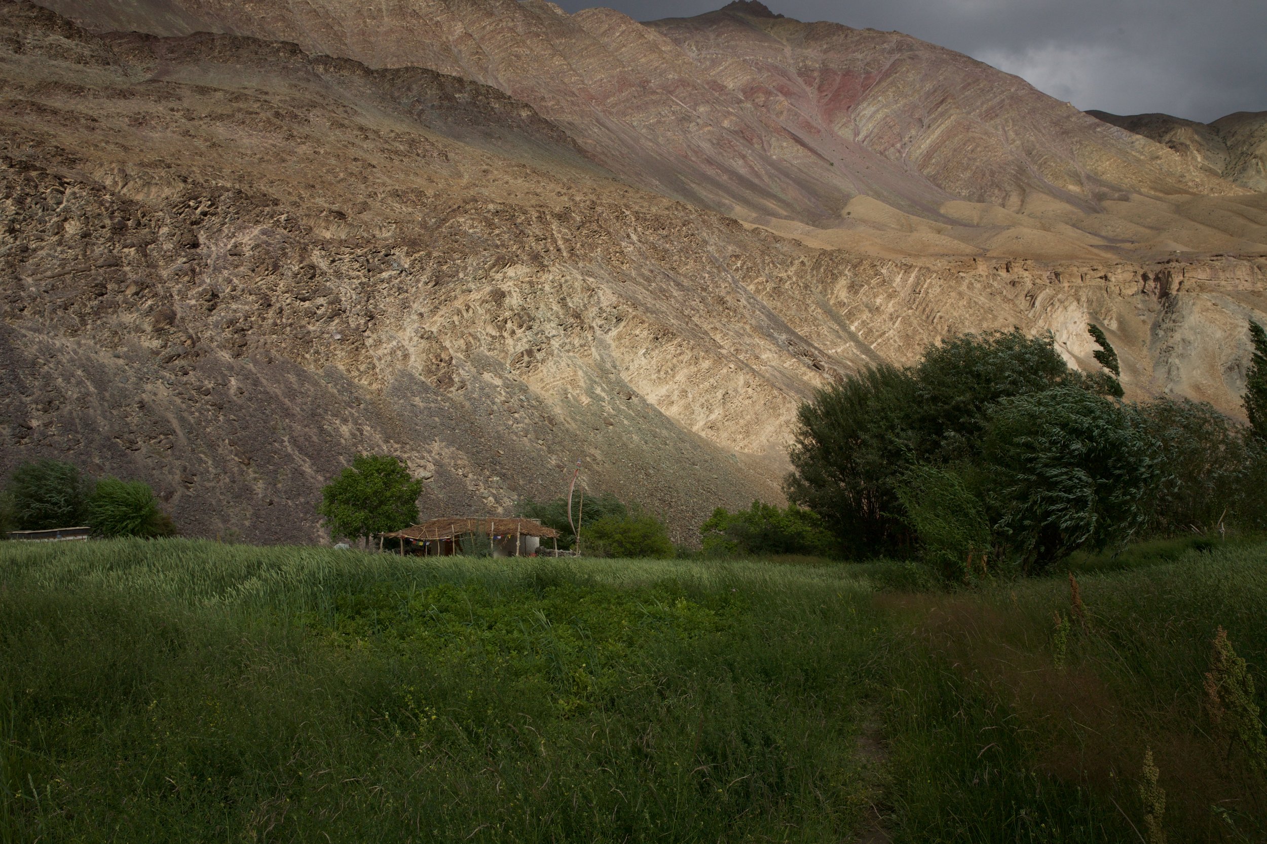
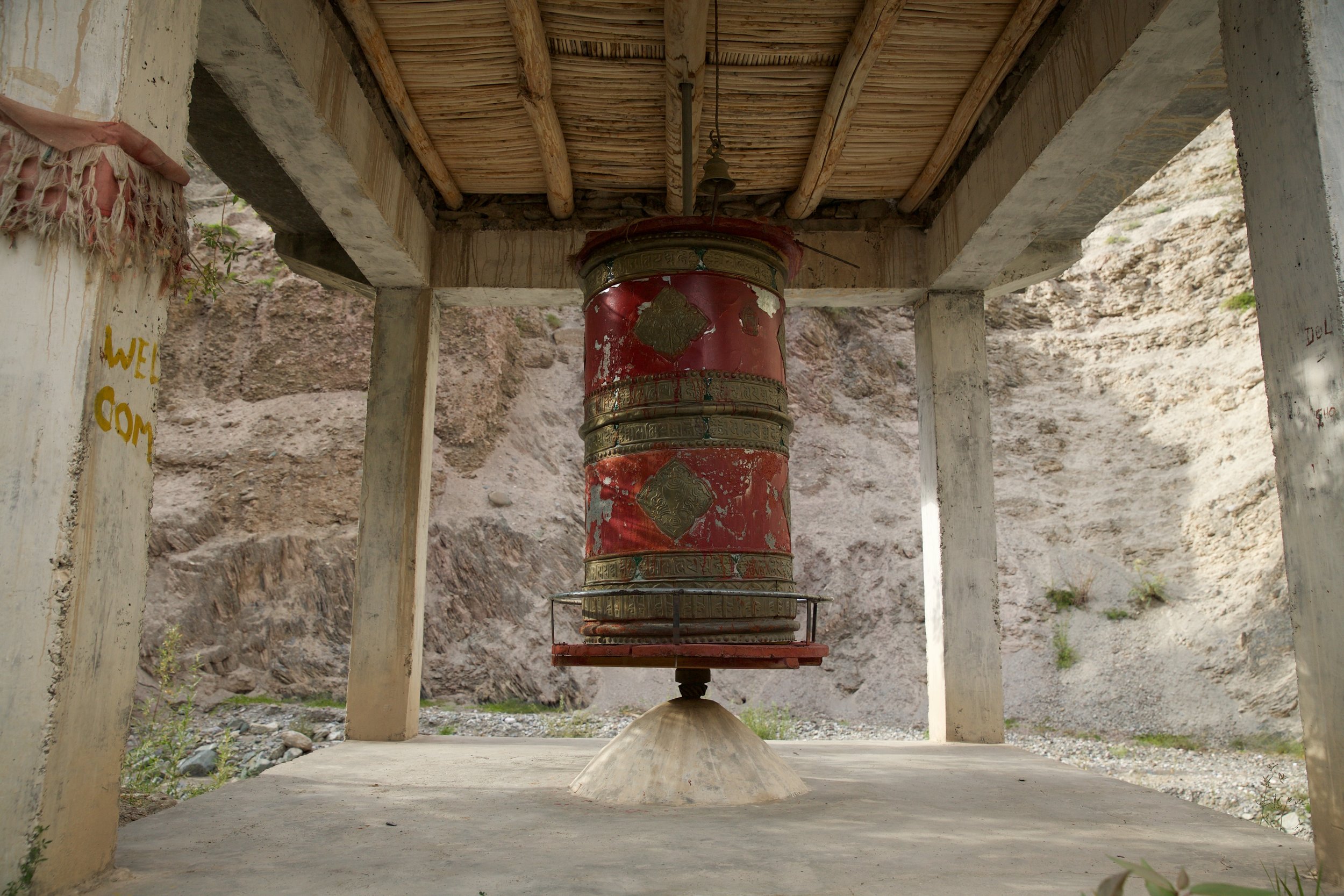
I’d never heard of Sumda Do, but if it had a name, it probably had a water source and a person who could point out where I was on a map. I asked the woman if Sumda Do had homestays and received a litany of “yes”es in reply. She continued merrily down the road, cackling. I’d made her morning, if not my own. A mere 45 minutes of walking revealed that the packed dirt road did indeed lead to Sumda Do, and it was gorgeous. A magnificent red prayer wheel stood over the confluence of two roads; they met in a sharp V filled in by a shallow stream bed that dropped precipitously toward the Zanskar River. The town itself was a dozen or so houses spread amongst riotous fields of deeply green barley, their pregnant stalks bucking wildly in the breeze, heavy with grains. The mountains of the Ripchar Valley dwarfed the village, casting Sumda Do’s verdant fields in sharp relief against bleached crags of ochre and slate and lavender. I dropped my pack and simply stood, for a long moment, with my arms spread wide to let the wind slice through me, face tilted skyward, a feeble offering to indifferent alpine gods whose blessings I seemed to have stumbled upon by accident.
Bricks of pale earth were drying in the courtyard of a handsome Tibetan-style home when I called out a tentative greeting from its gate. A cow lowed dolefully from its pen in the yard, startling a pair of sheep and setting off a chorus of animal distress. A lovely older woman with a baby on her hip jogged around the corner of the house, exclaiming in Ladakhi and gesturing for me to come in. Moments later, her husband appeared from a dark room on the first floor, a moon-faced toddler in tow, and showed me to a beautifully appointed room on the upper floor. It was one of the largest homestays I’d seen: Two adjoining reception chambers, splendidly adorned with family heirlooms and formal serving dishes, abutted a locked shrine room; a covered corridor connected a set of uncommonly sturdy stairs to a spacious terrace strewn with apricot seeds drying in the sun, waiting to be pounded into bitter flour.
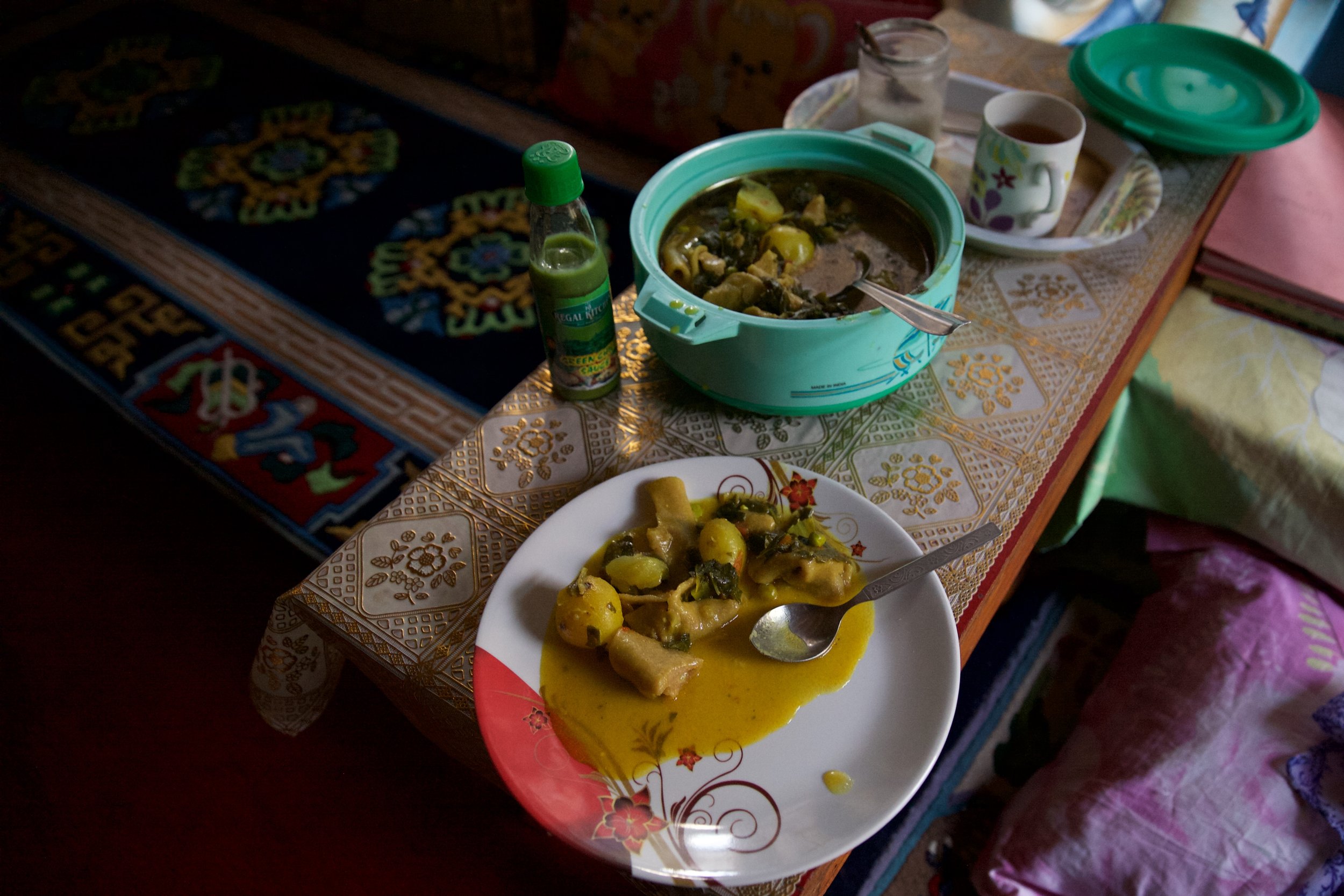
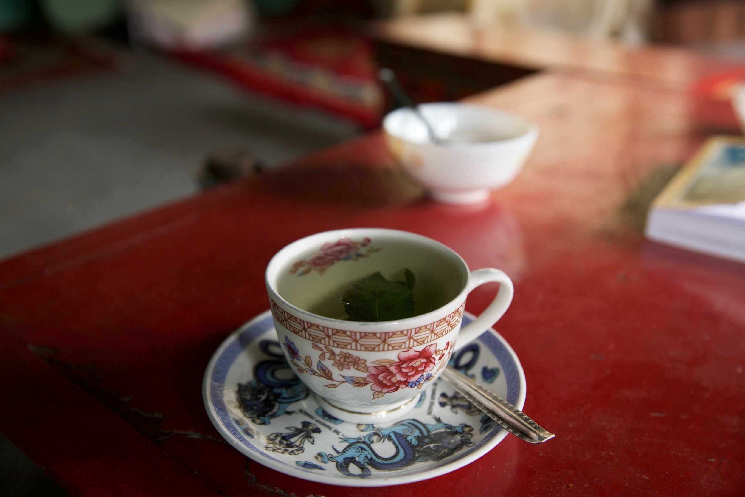
My hosts explained that I had indeed missed the southbound turn up to the sister passes. Instead, I’d hit an unmapped eastbound road still under partial construction. In a happy twist of fate, the other road I’d seen by Sumda Do’s regal prayer wheel was a major thoroughfare called the Zanskar Valley Road; it tracked the seething Zanskar River all the way north to where the Zanskar joined the almighty Indus—and if I followed it south, it would lead me directly to Chilling in a mere two hours. There was time yet in the day, but the village’s charms had already snared me, as had my hostess’s garden-fresh mint tea. I whiled away the afternoon in a daze of small pleasures. I traced the carvings on the old prayer wheel, washed my hair in icy creek water, watched slender birch trees flash their silver-bellied leaves in the wind. When evening fell, I sat in my hosts’ sumptuous reception room and ate a homemade barley and vegetable stew called skyu on one of many red-lacquered tables. Insects buzzed as I fell asleep on a pile of thick carpets thinking only yes.
If you’ve come this far and thought, “This doesn’t seem finished!” you’re completely right. I might finish it one day.
